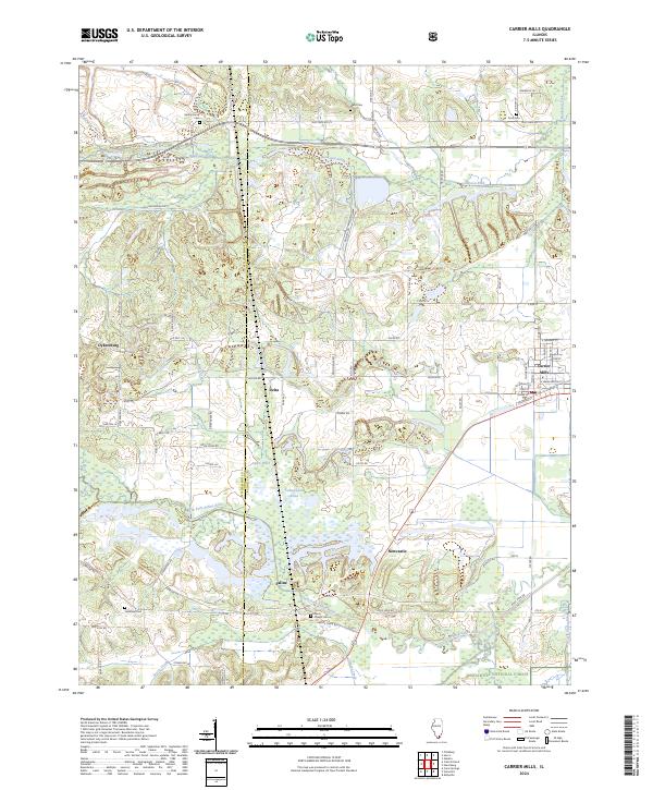
2024 Map of Carrier Mills
USGS Topo · Published 2024About this map
Carrier Mills serves as the primary hub of this Saline County landscape, where the street grid meets the rail line amidst a legacy of regional coal operations. The map details a complex history of land use, evidenced by thoroughfares like Old Delta Mine Rd and Haulage Rd that cut through the terrain. To the south, the Shawnee National Forest begins to dominate the scenery as the land transitions toward the South Fork Saline River and its various tributaries like Grassy Creek and Pond Creek.
Find a feature on this map
80 named features on this map. Tap any name to fly to it.
Don’t see what you’re looking for? This feature index may not catch every label — zoom into the map to look around manually.
Map Details
Editions of this 2024 Carrier Mills Map
This is the sole edition of this map. No revisions or reprints were ever made.
Other maps of this area

1908 · Galatia
USGS Topo · 1:62,500

1909 · West Frankfort
USGS Topo · 1:62,500

1925 · Marion
USGS Topo · 1:62,500

1925 · Harrisburg
USGS Topo · 1:62,500

1938 · Galatia
USGS Topo · 1:62,500

1939 · Harrisburg
USGS Topo · 1:62,500

1940 · Marion
USGS Topo · 1:62,500

1941 · West Frankfort
USGS Topo · 1:62,500

1949 · Paducah
USGS Topo · 1:250,000

1950 · Paducah
USGS Topo · 1:250,000