
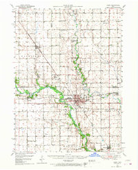
1993 Map of Carroll
USGS Topo · Published 1993About this map
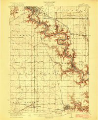
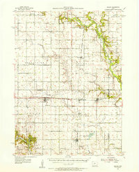
The Raccoon River and its various forks carve through the agricultural heart of central Iowa, defining the drainage patterns for a landscape dotted with county seats and rail-to-road junctions. In this early 1990s overview, the confluence of transportation and local government is evident at centers like Sac City, Rockwell City, and Jefferson, each identified by their respective county courthouses. The map captures the region's diverse water features, from the recreational basins of North Twin Lake and South Twin Lake to the meandering course of the Des Moines River in the northeast. This area represents a well-established corridor of the Midwest, where the Chicago and North Western Transportation Company tracks parallel major thoroughfares like US Highway 30, linking smaller settlements such as Lohrville, Gowrie, and Grand Junction within a network of managed wildlife areas and state parks including Brushy Creek State Park.
Find a feature on this map
107 named features on this map. Tap any name to fly to it.
Don’t see what you’re looking for? This feature index may not catch every label — zoom into the map to look around manually.
Map Details
Editions of this 1993 Carroll Map
This is the sole edition of this map. No revisions or reprints were ever made.
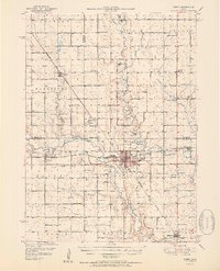
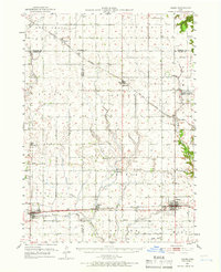
Other maps of this area

1911 · Madrid
USGS Topo · 1:62,500

1914 · Madrid
USGS Topo · 1:62,500

1916 · Boone
USGS Topo · 1:62,500
1923 · Lehigh
USGS Topo · 1:62,500

1923 · Fort Dodge
USGS Topo · 1:62,500
1950 · Perry
USGS Topo · 1:62,500
1951 · Perry
USGS Topo · 1:62,500
1951 · Ogden
USGS Topo · 1:62,500
1954 · Bagley
USGS Topo · 1:62,500

1954 · Omaha
USGS Topo · 1:250,000