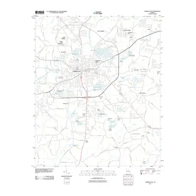
2011 Map of Carrollton
USGS Topo · Published 2011About this map
Carrollton serves as the focal point of this Carroll County survey, showing a landscape where institutional growth and suburban residential clusters meet the natural drainages of the Little Tallapoosa River. The map documents the extensive footprint of the University of West Georgia and the established town center around the Carrollton Post Office. Surrounding the urban core, a network of residential developments such as Holly Heights, Riverbend, and Lamplighter Square illustrates the expansion of the community into the 21st century.
Find a feature on this map
120 named features on this map. Tap any name to fly to it.
Don’t see what you’re looking for? This feature index may not catch every label — zoom into the map to look around manually.
Map Details
Editions of this 2011 Carrollton Map
This is the sole edition of this map. No revisions or reprints were ever made.
Other maps of this area

1889 · Tallapoosa
USGS Topo · 1:125,000

1891 · Marietta
USGS Topo · 1:125,000

1892 · Tallapoosa
USGS Topo · 1:125,000

1895 · Marietta
USGS Topo · 1:125,000

1897 · Marietta
USGS Topo · 1:125,000

1897 · Tallapoosa
USGS Topo · 1:125,000

1899 · Wedowee
USGS Topo · 1:125,000

1901 · Marietta
USGS Topo · 1:125,000

1902 · Wedowee
USGS Topo · 1:125,000

1953 · Atlanta
USGS Topo · 1:250,000