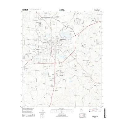
2014 Map of Carrollton
USGS Topo · Published 2014About this map
The Little Tallapoosa River winds through this West Georgia landscape, anchoring a region defined by the growth of Carrollton and its surrounding residential developments. By the mid-2010s, the area shows a clear transition from its urban center to suburban communities like Holly Heights, Leisure Heights, and South Gate. The map provides a detailed view of the institutional foundations of the city, prominently featuring the University of West Georgia and the Carrollton City Cemetery.
Find a feature on this map
143 named features on this map. Tap any name to fly to it.
Don’t see what you’re looking for? This feature index may not catch every label — zoom into the map to look around manually.
Map Details
Editions of this 2014 Carrollton Map
This is the sole edition of this map. No revisions or reprints were ever made.
Other maps of this area

1889 · Tallapoosa
USGS Topo · 1:125,000

1891 · Marietta
USGS Topo · 1:125,000

1892 · Tallapoosa
USGS Topo · 1:125,000

1895 · Marietta
USGS Topo · 1:125,000

1897 · Marietta
USGS Topo · 1:125,000

1897 · Tallapoosa
USGS Topo · 1:125,000

1899 · Wedowee
USGS Topo · 1:125,000

1901 · Marietta
USGS Topo · 1:125,000

1902 · Wedowee
USGS Topo · 1:125,000

1953 · Atlanta
USGS Topo · 1:250,000