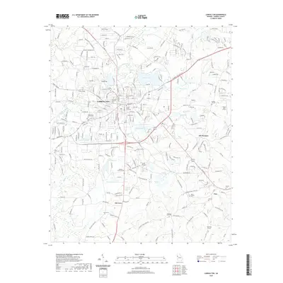
2020 Map of Carrollton
USGS Topo · Published 2020About this map
The Little Tallapoosa River and its numerous tributaries, including Buffalo Cr and Curtis Cr, define the drainage of this Georgia landscape anchored by the city of Carrollton. The city's core is centered on the Carroll County Courthouse and the expansive University of West Georgia campus, surrounded by a dense network of residential and industrial developments. Beyond the urban center, the terrain shifts toward Oak Mountain and rural settlements such as Clem and Oak Grove. Genealogists will find a high concentration of burial sites throughout the region, ranging from the central Carrollton City Cem to outlying country churchyards like Stripling Chapel Cem, Emmaus Cem, and Antioch Cem. The presence of private airstrips like C&R Farm Airport and Falcons Aerie Airport alongside the Sunset Hills Country Club Lake reflects the modern diversification of land use in this Piedmont region.
Find a feature on this map
265 named features on this map. Tap any name to fly to it.
Don’t see what you’re looking for? This feature index may not catch every label — zoom into the map to look around manually.
Map Details
Editions of this 2020 Carrollton Map
This is the sole edition of this map. No revisions or reprints were ever made.
Other maps of this area

1889 · Tallapoosa
USGS Topo · 1:125,000

1891 · Marietta
USGS Topo · 1:125,000

1892 · Tallapoosa
USGS Topo · 1:125,000

1895 · Marietta
USGS Topo · 1:125,000

1897 · Marietta
USGS Topo · 1:125,000

1897 · Tallapoosa
USGS Topo · 1:125,000

1899 · Wedowee
USGS Topo · 1:125,000

1901 · Marietta
USGS Topo · 1:125,000

1902 · Wedowee
USGS Topo · 1:125,000

1953 · Atlanta
USGS Topo · 1:250,000