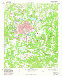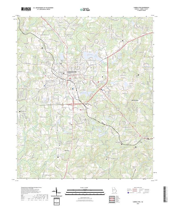
2024 Map of Carrollton
USGS Topo · Published 2024About this map
The Carroll County Courthouse stands as the central landmark of Carrollton, anchoring a landscape where institutional growth meets rural Georgia traditions. To the west, the extensive grounds of the University of West Georgia dominate the suburban edge, while the city center transitions into a network of residential streets and historic burial grounds like the King Street Cem and Carrollton City Cem. This area serves as a significant hub for Carroll County, balancing its role as an educational and administrative center with its surrounding agricultural roots.
Find a feature on this map
278 named features on this map. Tap any name to fly to it.
Don’t see what you’re looking for? This feature index may not catch every label — zoom into the map to look around manually.
Map Details
Editions of this 2024 Carrollton Map
This is the sole edition of this map. No revisions or reprints were ever made.
Historical Maps of Cedarwood Through Time
3 maps found