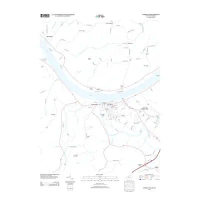
2013 Map of Carrollton
USGS Topo · Published 2013About this map
The Kentucky River meets the Ohio River at Carrollton, marking a vital waterway junction for Northern Kentucky commerce and travel. This 2013 survey captures the town’s established street grid and riverside character, sitting opposite Prestonville and Lamb. The landscape is defined by its deep history, visible through numerous family and fraternal burial grounds such as the Carrollton IOOF Cem and the McKay Cem.
Find a feature on this map
125 named features on this map. Tap any name to fly to it.
Don’t see what you’re looking for? This feature index may not catch every label — zoom into the map to look around manually.
Map Details
Editions of this 2013 Carrollton Map
This is the sole edition of this map. No revisions or reprints were ever made.
Other maps of this area

1943 · Vevay North
USGS Topo · 1:24,000

1943 · Brooksburg
USGS Topo · 1:24,000

1943 · Vevay South
USGS Topo · 1:24,000

1952 · Vevay South
USGS Topo · 1:24,000

1952 · Worthville
USGS Topo · 1:24,000

1952 · Campbellsburg
USGS Topo · 1:24,000

1953 · Bedford
USGS Topo · 1:24,000

1953 · Carrollton
USGS Topo · 1:24,000

1953 · Madison East
USGS Topo · 1:24,000

1956 · Bennington
USGS Topo · 1:24,000