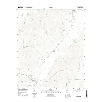
2014 Map of Carrollton
USGS Topo · Published 2014About this map
Lubbub Cr flows through a landscape defined by small agrarian communities and a network of family cemeteries that speak to the deep roots of Pickens County. In the southern portion of the quadrangle, the town of Carrollton serves as a hub, situated near the AT&N Railroad and the waters of Kilpatrick Lake. The geography is characterized by numerous small tributaries like Bethel Br and Stratton Br, which drain the undulating terrain into the larger creek systems.
Find a feature on this map
78 named features on this map. Tap any name to fly to it.
Don’t see what you’re looking for? This feature index may not catch every label — zoom into the map to look around manually.
Map Details
Editions of this 2014 Carrollton Map
This is the sole edition of this map. No revisions or reprints were ever made.
Other maps of this area

1953 · Birmingham
USGS Topo · 1:250,000

1953 · West Point
USGS Topo · 1:250,000

1956 · Birmingham
USGS Topo · 1:250,000

1957 · Birmingham
USGS Topo · 1:250,000

1958 · West Point
USGS Topo · 1:250,000

1963 · West Point
USGS Topo · 1:250,000

1966 · Ethelsville
USGS Topo · 1:24,000

1966 · Reform SW
USGS Topo · 1:24,000

1967 · Carrollton
USGS Topo · 1:24,000

1967 · Gordo
USGS Topo · 1:24,000