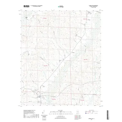
2018 Map of Carrollton
USGS Topo · Published 2018About this map
Carrollton and Reform serve as the primary anchors in this portion of Pickens County, connected by a network of rural routes and the ATN Railroad. The landscape is defined by the winding paths of Lubbub Cr and Little Lubbub Cr, which create a complex drainage system across the terrain. Small settlements and former community centers like Beards Mill and Stansel are identified alongside numerous family and community landmarks.
Find a feature on this map
81 named features on this map. Tap any name to fly to it.
Don’t see what you’re looking for? This feature index may not catch every label — zoom into the map to look around manually.
Map Details
Editions of this 2018 Carrollton Map
This is the sole edition of this map. No revisions or reprints were ever made.
Other maps of this area

1953 · Birmingham
USGS Topo · 1:250,000

1953 · West Point
USGS Topo · 1:250,000

1956 · Birmingham
USGS Topo · 1:250,000

1957 · Birmingham
USGS Topo · 1:250,000

1958 · West Point
USGS Topo · 1:250,000

1963 · West Point
USGS Topo · 1:250,000

1966 · Ethelsville
USGS Topo · 1:24,000

1966 · Reform SW
USGS Topo · 1:24,000

1967 · Carrollton
USGS Topo · 1:24,000

1967 · Gordo
USGS Topo · 1:24,000