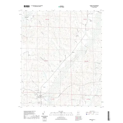
2020 Map of Carrollton
USGS Topo · Published 2020About this map
Carrollton serves as the focal point of this Pickens County landscape, anchored by the Pickens County Judicial Center and several significant burial grounds like Carrollton Cem and Community Cem. The town sits at a transit crossroads where Reform St and Columbus St converge, reflecting its role as a regional hub. To the north, the terrain transitions toward Reform and the small settlement of Stansel, connected by a network of rural routes such as Halls Mill Rd and Poplar Springs Rd.
Find a feature on this map
79 named features on this map. Tap any name to fly to it.
Don’t see what you’re looking for? This feature index may not catch every label — zoom into the map to look around manually.
Map Details
Editions of this 2020 Carrollton Map
This is the sole edition of this map. No revisions or reprints were ever made.
Other maps of this area

1953 · Birmingham
USGS Topo · 1:250,000

1953 · West Point
USGS Topo · 1:250,000

1956 · Birmingham
USGS Topo · 1:250,000

1957 · Birmingham
USGS Topo · 1:250,000

1958 · West Point
USGS Topo · 1:250,000

1963 · West Point
USGS Topo · 1:250,000

1966 · Ethelsville
USGS Topo · 1:24,000

1966 · Reform SW
USGS Topo · 1:24,000

1967 · Carrollton
USGS Topo · 1:24,000

1967 · Gordo
USGS Topo · 1:24,000