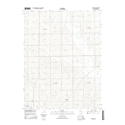
1956 Map of Carrollton West
USGS Topo · Published 1979About this map
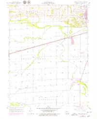
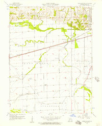
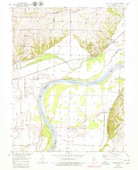
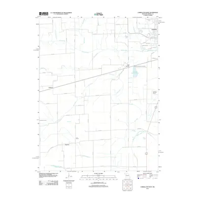
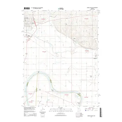
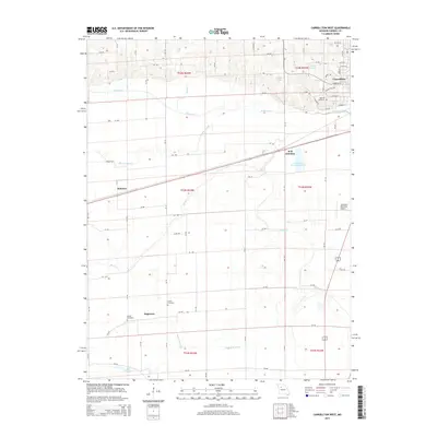
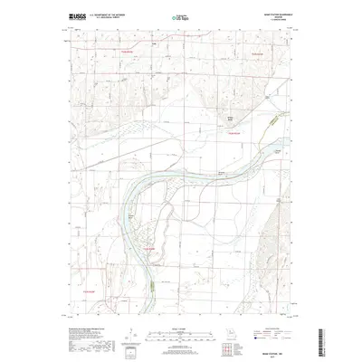
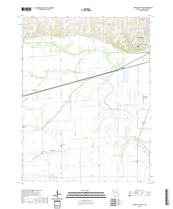
Carrollton sits at the northeastern corner of this agricultural landscape, where the Atchison Topeka and Santa Fe and Wabash railroads create a transportation hub at WB Junction. The terrain is shaped by the meandering courses of Wakenda Creek and Moss Creek, with the lower southern reaches defined by an extensive drainage network including Sugartree Ditch and the Old Channel. This 1956 survey, later updated with aerial photography, documents a region of small rural settlements like Sugartree and Palemon. Genealogists and local historians can locate established burial grounds such as Oak Hill Cem and Austin Cem, alongside religious centers like Sacred Heart Ch and Gilead Ch. The presence of the Carrollton Municipal Landing Strip and various named sloughs and branches, such as Booker Slough and McGill Creek, underscores the dual reliance on rail transport and water management in Carroll County.
Find a feature on this map
30 named features on this map. Tap any name to fly to it.
Don’t see what you’re looking for? This feature index may not catch every label — zoom into the map to look around manually.
Map Details
Editions of this 1956 Carrollton West Map
2 editions found
Historical Maps of Carrollton Through Time
35 maps found
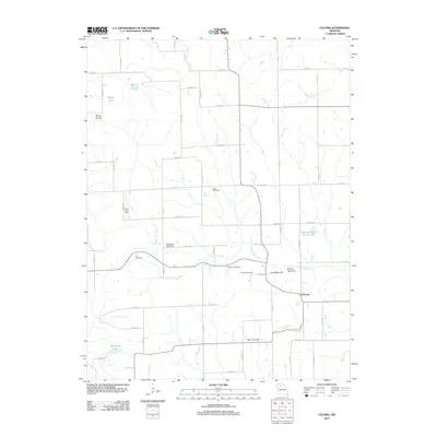
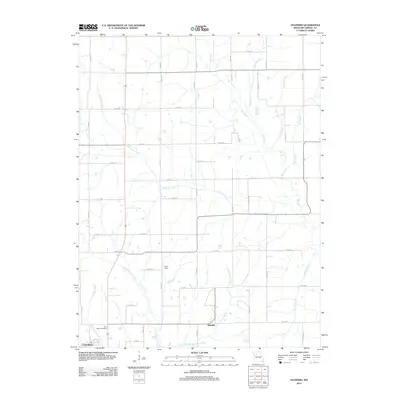
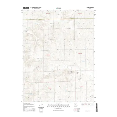
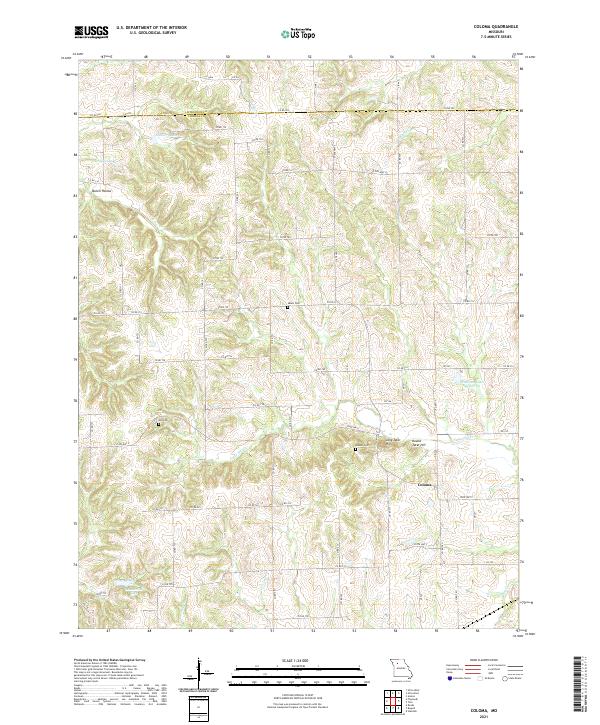
1950 Coloma
Carroll County, MO
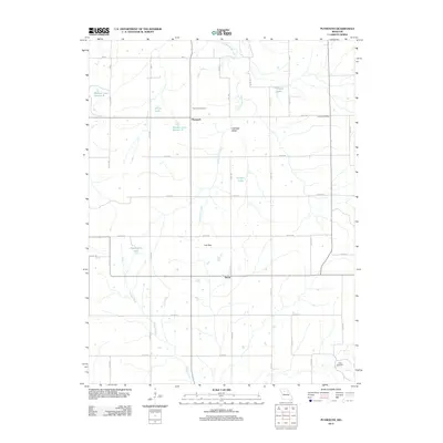
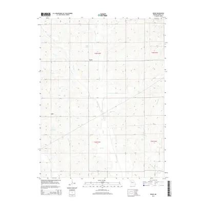
1950 Plymouth
Carroll County, MO

1951 Carrollton East
Carroll County, MO
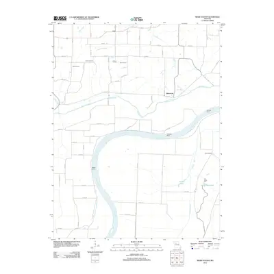
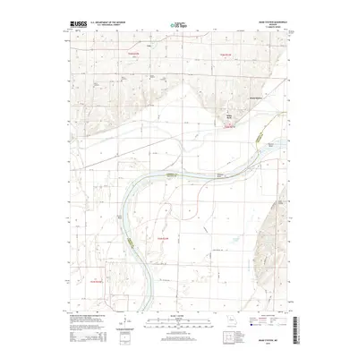
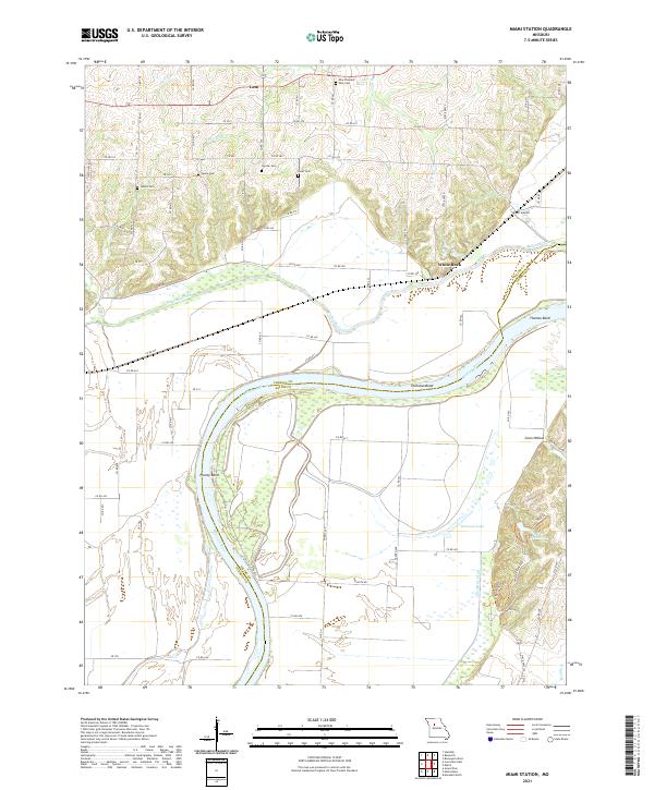
1951 Miami Station
Carroll County, MO
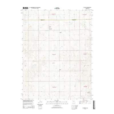
1951 Standish
Carroll County, MO
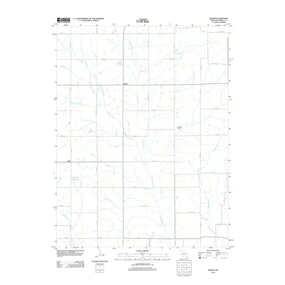
1956 Carrollton West
Carroll County, MO
1957 Roads
Carroll County, MO
2012 Carrollton East
Carroll County, MO
2012 Carrollton West
Carroll County, MO
2012 Coloma
Carroll County, MO
2012 Miami Station
Carroll County, MO
2012 Plymouth
Carroll County, MO
2012 Roads
Carroll County, MO
2012 Standish
Carroll County, MO
2015 Carrollton East
Carroll County, MO
2015 Carrollton West
Carroll County, MO
2015 Coloma
Carroll County, MO
2015 Miami Station
Carroll County, MO
2015 Plymouth
Carroll County, MO
2015 Roads
Carroll County, MO
2015 Standish
Carroll County, MO
2017 Carrollton East
Carroll County, MO
2017 Carrollton West
Carroll County, MO
2017 Coloma
Carroll County, MO
2017 Miami Station
Carroll County, MO
2017 Plymouth
Carroll County, MO
2017 Roads
Carroll County, MO
2017 Standish
Carroll County, MO
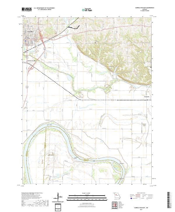
2021 Carrollton East
Carroll County, MO
2021 Carrollton West
Carroll County, MO
2021 Coloma
Carroll County, MO
2021 Miami Station
Carroll County, MO
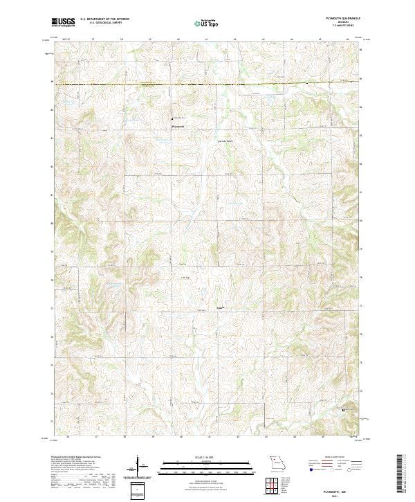
2021 Plymouth
Carroll County, MO
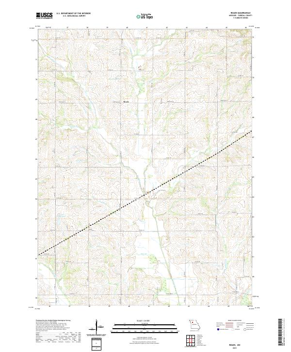
2021 Roads
Carroll County, MO
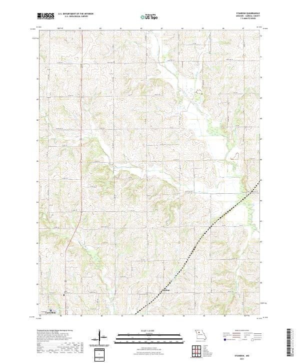
2021 Standish
Carroll County, MO