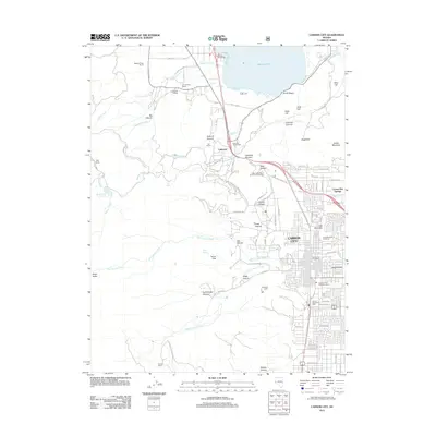
2012 Map of Carson City
USGS Topo · Published 2012About this map
Carson City sits at the base of the mountains where the urban grid meets a complex network of canyons and historic ranch lands. To the north, the transition from the city center to the shores of Washoe Lake is marked by a series of family-named holdings, including the Washoe Pines Ranch, Lighting W Ranch, and San Antonio Ranch. This 2012 survey illustrates the relationship between the capital's residential development and its dramatic natural borders, with the residential blocks of Eagle Valley stopping abruptly at the steep eastern slopes of the Sierra Nevada foothills.
Find a feature on this map
100 named features on this map. Tap any name to fly to it.
Don’t see what you’re looking for? This feature index may not catch every label — zoom into the map to look around manually.
Map Details
Editions of this 2012 Carson City Map
This is the sole edition of this map. No revisions or reprints were ever made.
Other maps of this area

1891 · Carson
USGS Topo · 1:125,000

1893 · Carson
USGS Topo · 1:125,000

1950 · Virginia City
USGS Topo · 1:62,500

1950 · Mt. Rose
USGS Topo · 1:62,500

1952 · Mt. Rose
USGS Topo · 1:62,500

1952 · Virginia City
USGS Topo · 1:62,500

1955 · Marlette Lake
USGS Topo · 1:24,000

1955 · Glenbrook
USGS Topo · 1:24,000

1956 · Dayton
USGS Topo · 1:62,500

1956 · Carson City
USGS Topo · 1:62,500