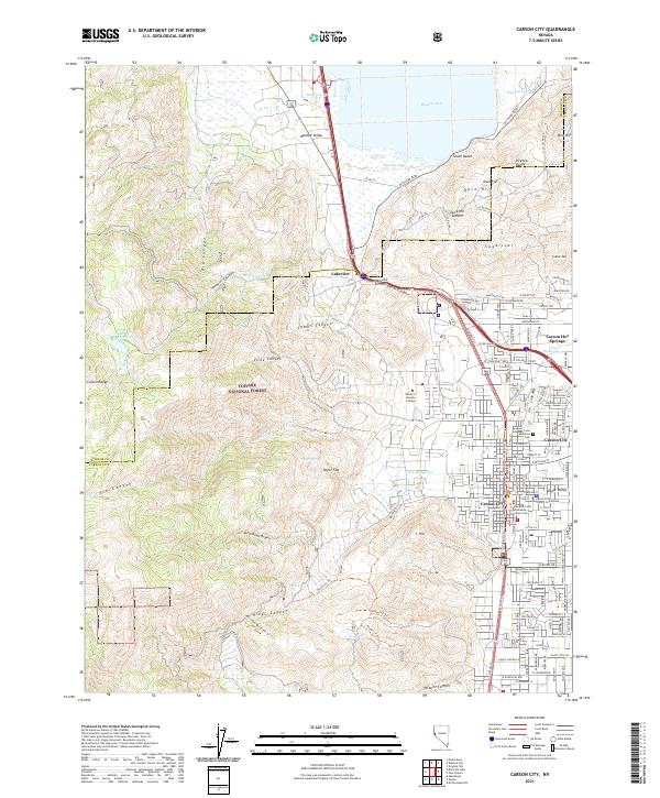
2021 Map of Carson City
USGS Topo · Published 2021About this map
The state capital and the dramatic eastern front of the Carson Range define this modern landscape where the Eagle Valley floor meets the high desert. Modern development in Carson City is densely detailed, showing the civic core around the Carson City County Courthouse and the Supreme Court of Nevada, as well as the Western Nevada College campus. To the north, the terrain rises toward Lakeview Summit, where the historic Lakeview settlement sits near the narrow passage between the Washoe Valley and the capital city.
Find a feature on this map
105 named features on this map. Tap any name to fly to it.
Don’t see what you’re looking for? This feature index may not catch every label — zoom into the map to look around manually.
Map Details
Editions of this 2021 Carson City Map
This is the sole edition of this map. No revisions or reprints were ever made.
Other maps of this area

1891 · Carson
USGS Topo · 1:125,000

1893 · Carson
USGS Topo · 1:125,000

1950 · Virginia City
USGS Topo · 1:62,500

1950 · Mt. Rose
USGS Topo · 1:62,500

1952 · Mt. Rose
USGS Topo · 1:62,500

1952 · Virginia City
USGS Topo · 1:62,500

1955 · Marlette Lake
USGS Topo · 1:24,000

1955 · Glenbrook
USGS Topo · 1:24,000

1956 · Dayton
USGS Topo · 1:62,500

1956 · Carson City
USGS Topo · 1:62,500