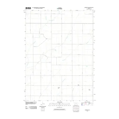
2010 Map of Carson NE
USGS Topo · Published 2010About this map
Wheeler stands as a focal point in this agricultural section of Pottawattamie County, situated where a network of section-line roads meets the rolling drainage of the Missouri River watershed. The landscape is defined by its intricate system of waterways, including the meandering paths of Indian Creek, Jordan Creek, and Graybill Creek, which dictate the local topography. This 2010 survey highlights the rural infrastructure of the early 21st century, from the Petersen Landing Strip to the grid of gravel and paved routes like Pioneer Trl and Chestnut Rd. For those tracing local heritage, the map identifies significant sites such as Center Ridge Cemetery and Elliot Hillside Cemetery, providing precise locations for these long-standing community landmarks amidst the expanse of Iowa farmland.
Find a feature on this map
38 named features on this map. Tap any name to fly to it.
Don’t see what you’re looking for? This feature index may not catch every label — zoom into the map to look around manually.
Map Details
Editions of this 2010 Carson NE Map
This is the sole edition of this map. No revisions or reprints were ever made.
Other maps of this area

1954 · Omaha
USGS Topo · 1:250,000

1957 · Omaha
USGS Topo · 1:250,000

1958 · Omaha
USGS Topo · 1:250,000

1963 · Avoca SE
USGS Topo · 1:24,000

1963 · Oakland
USGS Topo · 1:24,000

1971 · Atlantic SW
USGS Topo · 1:24,000

1978 · Carson
USGS Topo · 1:24,000

1978 · Griswold
USGS Topo · 1:24,000
1978 · Emerson
USGS Topo · 1:24,000

1978 · Wales
USGS Topo · 1:24,000