
1961 Map of Carson
USGS Topo · Published 1963About this map
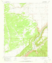
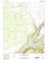
Carson National Forest dominates the western reaches of this High Desert landscape, where the high plateau is incised by complex drainage systems like Arroyo Aguaje de la Petaca and Arroyo Ashbury. The settlement of Carson and the Carson PO sit near the northern boundary, while the village of Pilar is situated at the base of the dramatic Cañon del Rio Grande. This gorge creates a sharp topographical divide, with the Rio Grande flowing through steep-walled canyons toward the southern edge of the quadrangle.
Find a feature on this map
20 named features on this map. Tap any name to fly to it.
Don’t see what you’re looking for? This feature index may not catch every label — zoom into the map to look around manually.
Map Details
Editions of this 1961 Carson Map
3 editions found
Other maps of this area

1953 · Velarde
USGS Topo · 1:24,000

1953 · Trampas
USGS Topo · 1:24,000

1954 · Raton
USGS Topo · 1:250,000

1958 · Raton
USGS Topo · 1:250,000

1960 · Taos Junction
USGS Topo · 1:24,000

1961 · Tres Orejas
USGS Topo · 1:24,000

1961 · Servilleta Plaza
USGS Topo · 1:24,000

1964 · Los Cordovas
USGS Topo · 1:24,000

1964 · Penasco
USGS Topo · 1:24,000

1964 · Taos SW
USGS Topo · 1:24,000