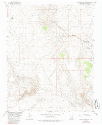
1966 Map of Carson Trading Post
USGS Topo · Published 1985About this map
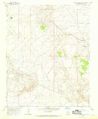
The Carson Trading Post serves as a primary landmark in this high-desert landscape of San Juan County during the mid-1960s. The settlement pattern here is sparse, defined by essential outposts like the Huerfano Reservation Dormitory and the infrastructure required for resource extraction. The southern portion of the map is dominated by the Bisti Oil Field, where numerous oil wells, drill holes, and a network of pipelines illustrate the industrial character of the era. The terrain is deeply incised by dry washes and canyons, most notably Gallegos Canyon and its West Fork, which drain toward the northwest. Local transportation routes provide connections to nearby hubs, with distances noted to Simpson Trading Post and Farmington, reflecting the isolation and distances inherent to this San Juan Basin territory before modern highway expansions.
Find a feature on this map
20 named features on this map. Tap any name to fly to it.
Don’t see what you’re looking for? This feature index may not catch every label — zoom into the map to look around manually.
Map Details
Editions of this 1966 Carson Trading Post Map
2 editions found
Other maps of this area

1889 · Largo
USGS Topo · 1:250,000

1889 · Chaco
USGS Topo · 1:250,000

1892 · Chaco
USGS Topo · 1:250,000

1895 · Largo
USGS Topo · 1:250,000

1954 · Shiprock
USGS Topo · 1:250,000

1954 · Aztec
USGS Topo · 1:250,000

1958 · Shiprock
USGS Topo · 1:250,000

1958 · Aztec
USGS Topo · 1:250,000

1959 · Shiprock
USGS Topo · 1:250,000

1960 · Bloomfield
USGS Topo · 1:62,500