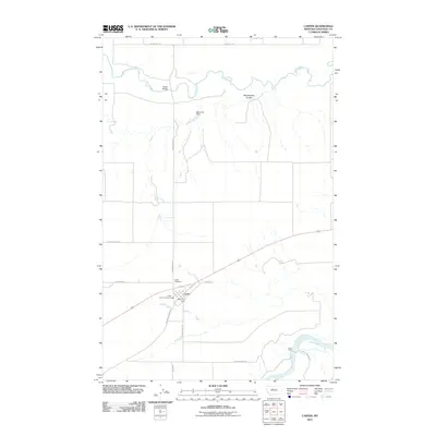
2011 Map of Carter
USGS Topo · Published 2011About this map
The town of Carter serves as the focal point of this Chouteau County landscape, situated between the winding Teton River to the north and the wide Missouri River to the south. This 2011 survey illustrates the community infrastructure of the early 21st century, centered on local landmarks like the Carter Post Office, the Carter Vol Fire Company, and the nearby Carter Cemetery. The map captures a high-plains geography where irrigation and transit meet, evidenced by the Bees Hive Dam and the network of local roads including Davis School Rd and Buck Bridge Rd.
Find a feature on this map
20 named features on this map. Tap any name to fly to it.
Don’t see what you’re looking for? This feature index may not catch every label — zoom into the map to look around manually.
Map Details
Editions of this 2011 Carter Map
This is the sole edition of this map. No revisions or reprints were ever made.
Other maps of this area

1886 · Great Falls
USGS Topo · 1:250,000

1890 · Fort Benton
USGS Topo · 1:250,000

1892 · Fort Benton
USGS Topo · 1:250,000

1897 · Fort Benton
USGS Topo · 1:250,000

1948 · Portage
USGS Topo · 1:62,500

1949 · Portage
USGS Topo · 1:62,500

1950 · Dent Bridge
USGS Topo · 1:62,500

1953 · Carter
USGS Topo · 1:24,000

1953 · Tunis
USGS Topo · 1:24,000

1954 · Great Falls
USGS Topo · 1:250,000