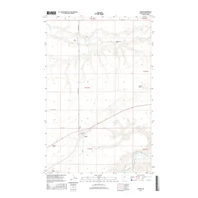
2017 Map of Carter
USGS Topo · Published 2017About this map
Carter serves as the central hub of this Chouteau County landscape, situated on a flat plateau between the winding Missouri River to the southeast and the Teton River to the north. The township is laid out with a clear grid featuring Main and 3rd Ave, supported by a network of rural routes that speak to the area's agricultural and transit history. Roads like Ferry Rd and Buck Bridge Rd cross the varied terrain, while the Whoop Up Trl runs along the northern boundary, tracing a legacy of historic movement through the region.
Find a feature on this map
24 named features on this map. Tap any name to fly to it.
Don’t see what you’re looking for? This feature index may not catch every label — zoom into the map to look around manually.
Map Details
Editions of this 2017 Carter Map
This is the sole edition of this map. No revisions or reprints were ever made.
Other maps of this area
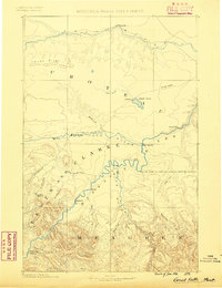
1886 · Great Falls
USGS Topo · 1:250,000
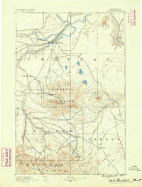
1890 · Fort Benton
USGS Topo · 1:250,000
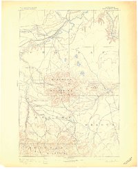
1892 · Fort Benton
USGS Topo · 1:250,000
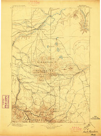
1897 · Fort Benton
USGS Topo · 1:250,000
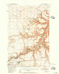
1948 · Portage
USGS Topo · 1:62,500
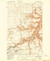
1949 · Portage
USGS Topo · 1:62,500
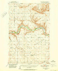
1950 · Dent Bridge
USGS Topo · 1:62,500
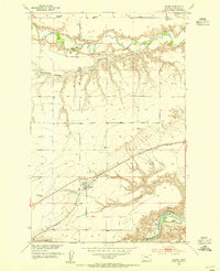
1953 · Carter
USGS Topo · 1:24,000
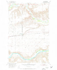
1953 · Tunis
USGS Topo · 1:24,000

1954 · Great Falls
USGS Topo · 1:250,000