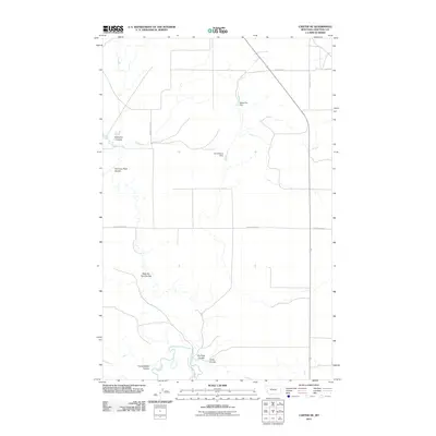
2011 Map of Carter NE
USGS Topo · Published 2011About this map
The Teton River cuts through the southern reaches of this Chouteau County landscape, where the high plains are defined by a complex network of seasonal drainages and local water management. Small-scale irrigation and livestock infrastructure are evident in the placement of the Joe Vielleux Dam and Sweet Pea Dam, reflecting the ranching priorities of the region. The map detail highlights several named topographical features such as Bullberry Coulee and Chimney Rock Coulee, which provide vital landmarks in an otherwise open terrain.
Find a feature on this map
21 named features on this map. Tap any name to fly to it.
Don’t see what you’re looking for? This feature index may not catch every label — zoom into the map to look around manually.
Map Details
Editions of this 2011 Carter NE Map
This is the sole edition of this map. No revisions or reprints were ever made.
Other maps of this area

1890 · Fort Benton
USGS Topo · 1:250,000

1892 · Fort Benton
USGS Topo · 1:250,000

1897 · Fort Benton
USGS Topo · 1:250,000

1953 · Carter
USGS Topo · 1:24,000

1953 · Tunis
USGS Topo · 1:24,000

1954 · Great Falls
USGS Topo · 1:250,000

1954 · Fort Benton
USGS Topo · 1:24,000

1954 · Shelby
USGS Topo · 1:250,000

1957 · Great Falls
USGS Topo · 1:250,000

1958 · Shelby
USGS Topo · 1:250,000