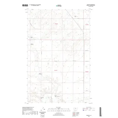
2020 Map of Carter NE
USGS Topo · Published 2020About this map
Teton River flows through the southern reaches of this landscape, carving a path through the coulee-striped terrain of central Montana. The geography is defined by numerous drainage systems such as Dry Fork Coulee, Chimney Rock Coulee, and Bullberry Coulee that dissect the plateau. The placement of Apple School Rd suggests the historical locations of rural educational centers that once served this agricultural region. The map also captures several family and descriptive landmarks including Frank Gilbert Coulee and Oder Coulee, reflecting the local heritage of early landholders. Modern ranching and transport routes are visible through names like Elbow Ranch Rd and Chimney Rock Rd, which follow the section lines of the Public Land Survey System established in townships like t26n r7e.
Find a feature on this map
21 named features on this map. Tap any name to fly to it.
Don’t see what you’re looking for? This feature index may not catch every label — zoom into the map to look around manually.
Map Details
Editions of this 2020 Carter NE Map
This is the sole edition of this map. No revisions or reprints were ever made.
Other maps of this area

1890 · Fort Benton
USGS Topo · 1:250,000

1892 · Fort Benton
USGS Topo · 1:250,000

1897 · Fort Benton
USGS Topo · 1:250,000

1953 · Carter
USGS Topo · 1:24,000

1953 · Tunis
USGS Topo · 1:24,000

1954 · Great Falls
USGS Topo · 1:250,000

1954 · Fort Benton
USGS Topo · 1:24,000

1954 · Shelby
USGS Topo · 1:250,000

1957 · Great Falls
USGS Topo · 1:250,000

1958 · Shelby
USGS Topo · 1:250,000