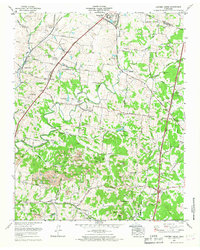
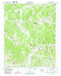
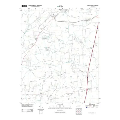
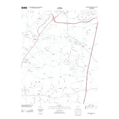
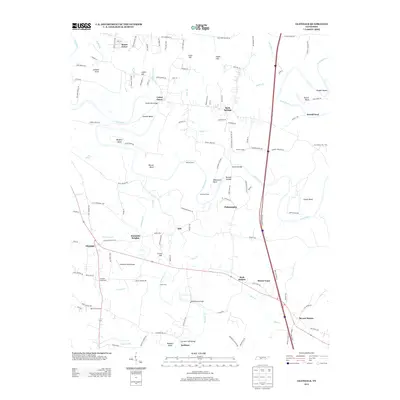
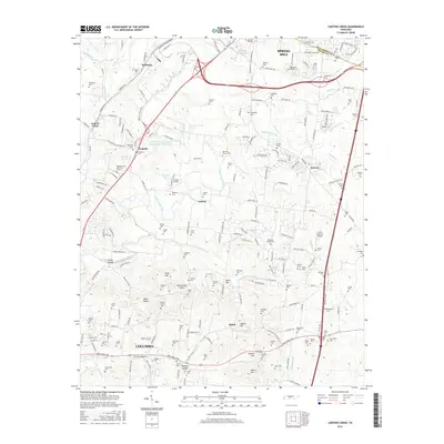
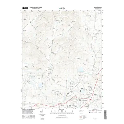
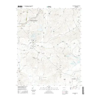
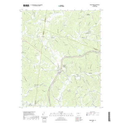
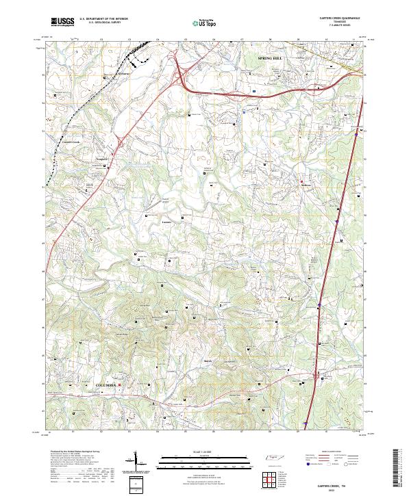
1965 Map of Carters Creek
USGS Topo · Published 1967About this map
The boundary between Williamson Co and Maury Co cuts across this mid-century landscape where agricultural research and industrial activity intersect. The Middle Tennessee Agricultural Experiment Station and the Tennessee Orphans Home at Spring Hill anchor the northern portion of the map, while numerous strip mines dot the hillsides near Kleburne and Hicks Hill. Transportation is dominated by the Louisville and Nashville railroad and the Andrew Jackson Highway, which parallel each other through the center of the sheet.
Find a feature on this map
91 named features on this map. Tap any name to fly to it.
Don’t see what you’re looking for? This feature index may not catch every label — zoom into the map to look around manually.
Map Details
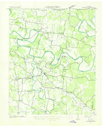
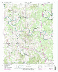
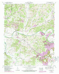
Editions of this 1965 Carters Creek Map
2 editions found
Historical Maps of Columbia Through Time
52 maps found

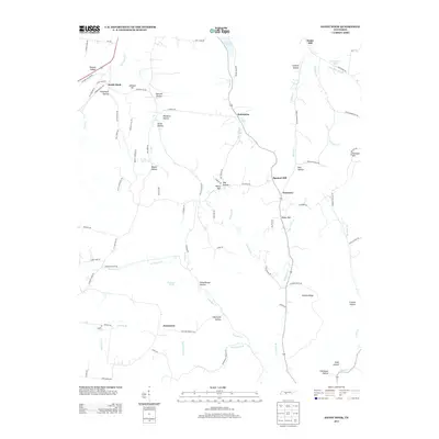
1936 Carters Creek
Maury County, TN
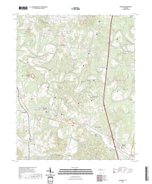
1936 Glendale
Maury County, TN

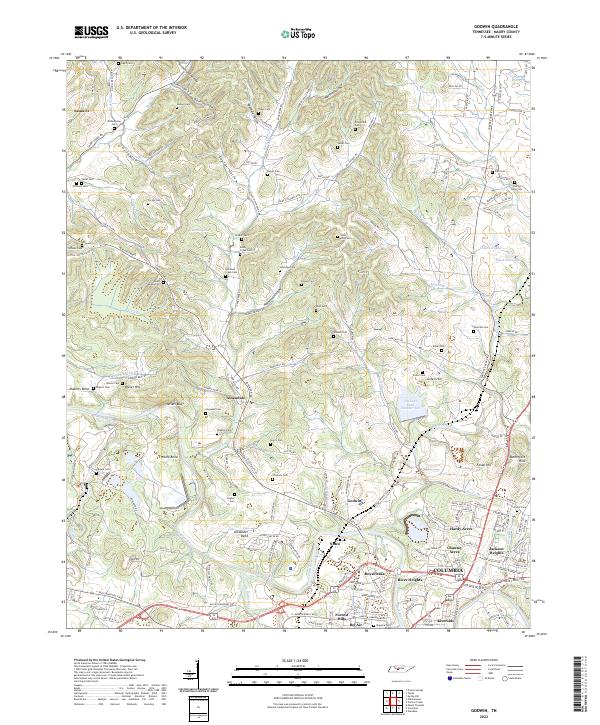
1936 Godwin
Maury County, TN

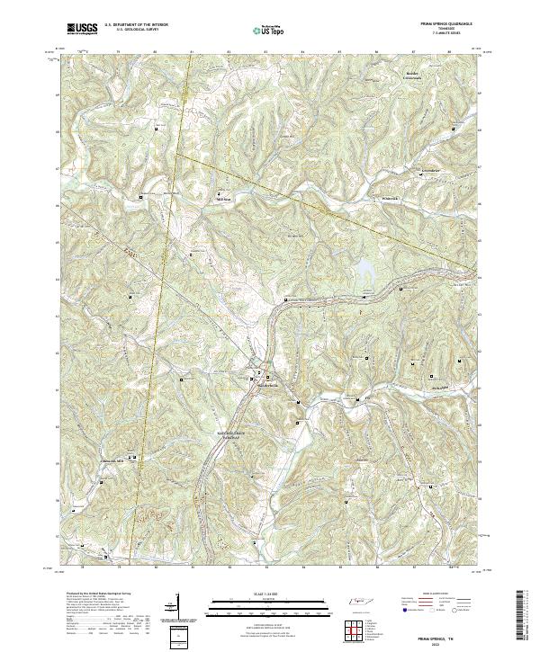
1936 Primm
Maury County, TN

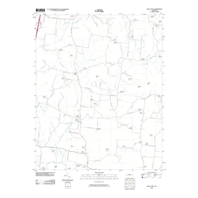
1936 Rally Hill
Maury County, TN

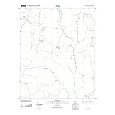
1936 Sandy Hook
Maury County, TN

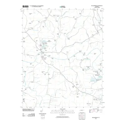
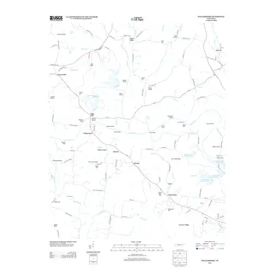
1936 Williamsport
Maury County, TN

1940 Godwin
Maury County, TN

1941 Carters Creek
Maury County, TN

1941 Godwin
Maury County, TN
1947 Glendale
Maury County, TN
1947 Rally Hill
Maury County, TN
1951 Primm Springs
Maury County, TN

1951 Sandy Hook
Maury County, TN
1951 Williamsport
Maury County, TN
1965 Carters Creek
Maury County, TN
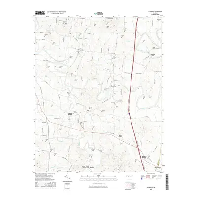
1965 Godwin
Maury County, TN
2010 Carters Creek
Maury County, TN
2010 Glendale
Maury County, TN
2010 Godwin
Maury County, TN
2010 Primm Springs
Maury County, TN
2010 Rally Hill
Maury County, TN
2010 Sandy Hook
Maury County, TN
2010 Williamsport
Maury County, TN
2013 Carters Creek
Maury County, TN
2013 Glendale
Maury County, TN
2013 Godwin
Maury County, TN
2013 Primm Springs
Maury County, TN
2013 Rally Hill
Maury County, TN
2013 Sandy Hook
Maury County, TN
2013 Williamsport
Maury County, TN
2016 Carters Creek
Maury County, TN
2016 Glendale
Maury County, TN
2016 Godwin
Maury County, TN
2016 Primm Springs
Maury County, TN
2016 Rally Hill
Maury County, TN
2016 Sandy Hook
Maury County, TN
2016 Williamsport
Maury County, TN
2019 Carters Creek
Maury County, TN
2019 Glendale
Maury County, TN
2019 Godwin
Maury County, TN
2019 Primm Springs
Maury County, TN
2019 Rally Hill
Maury County, TN
2019 Sandy Hook
Maury County, TN
2019 Williamsport
Maury County, TN
2022 Carters Creek
Maury County, TN
2022 Glendale
Maury County, TN
2022 Godwin
Maury County, TN
2022 Primm Springs
Maury County, TN
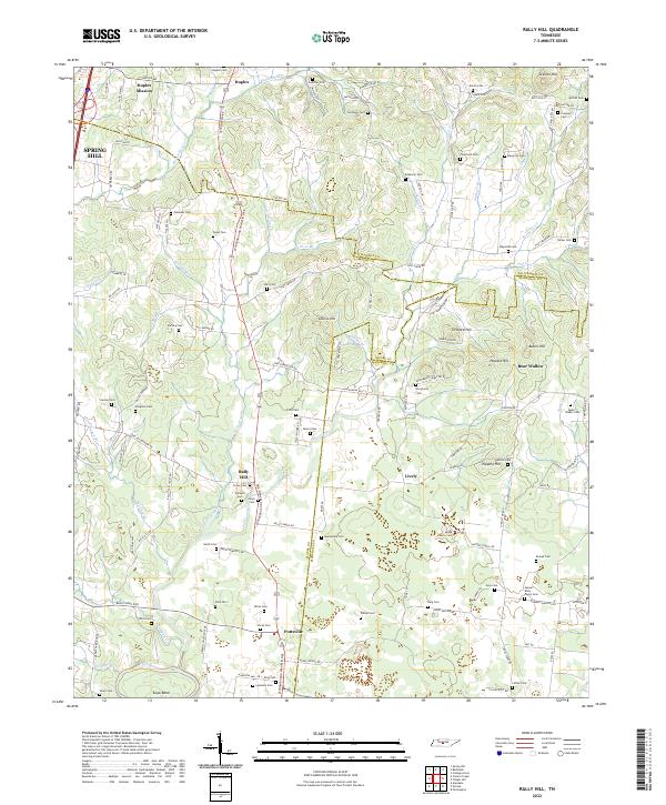
2022 Rally Hill
Maury County, TN
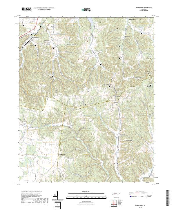
2022 Sandy Hook
Maury County, TN
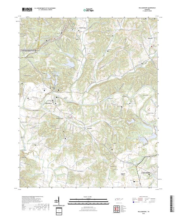
2022 Williamsport
Maury County, TN