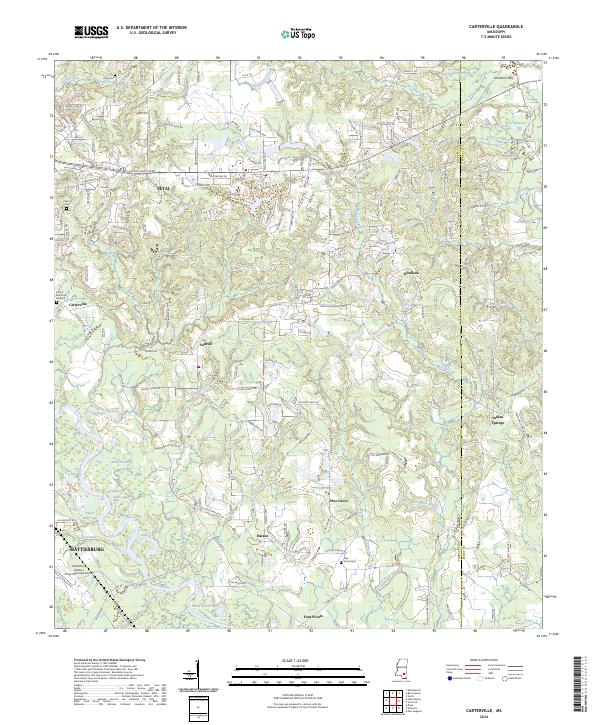
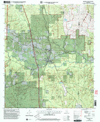
2024 Map of Carterville
USGS Topo · Published 2024About this map
The Leaf River corridor defines the landscape east of Hattiesburg, where the urban footprint of Petal transitions into the wooded ridges and creek bottoms of the Forrest and Perry county line. This contemporary survey shows the extensive suburban development of Petal and surrounding communities like Sunrise and Carterville, set against a backdrop of complex hydrography including Lotts Creek and Wedgeworth Creek. To the south, the Hattiesburg Bobby L Chain Municipal Airport serves as a major regional landmark near Batson and the Sims Lake area.
Find a feature on this map
184 named features on this map. Tap any name to fly to it.
Don’t see what you’re looking for? This feature index may not catch every label — zoom into the map to look around manually.
Map Details
Editions of this 2024 Carterville Map
This is the sole edition of this map. No revisions or reprints were ever made.
Historical Maps of Indian Springs Through Time
15 maps found
1963 Rock Hill
Forrest County, MS
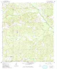
1964 Carterville
Forrest County, MS
1965 Dixie
Forrest County, MS
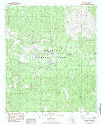
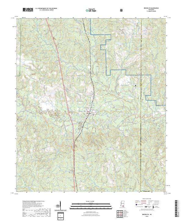
1983 Brooklyn
Forrest County, MS
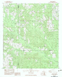
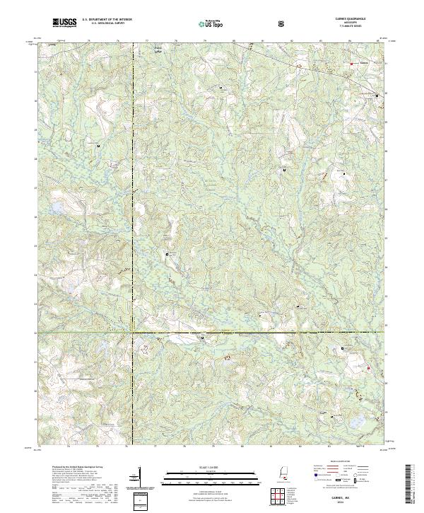
1983 Carnes
Forrest County, MS
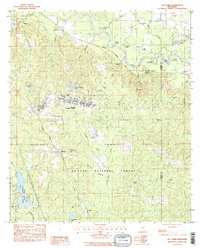
1983 McLaurin
Forrest County, MS
2000 Brooklyn
Forrest County, MS
2000 Carnes
Forrest County, MS
2000 McLaurin
Forrest County, MS
2024 Brooklyn
Forrest County, MS
2024 Carnes
Forrest County, MS
2024 Carterville
Forrest County, MS
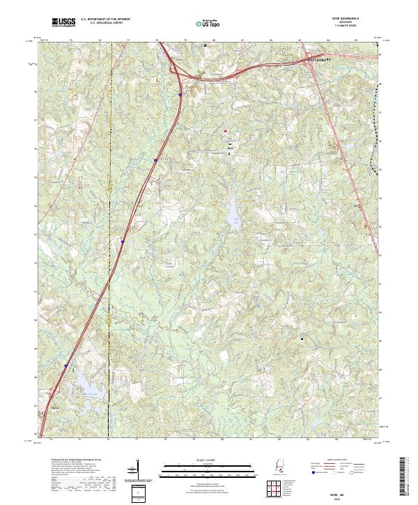
2024 Dixie
Forrest County, MS
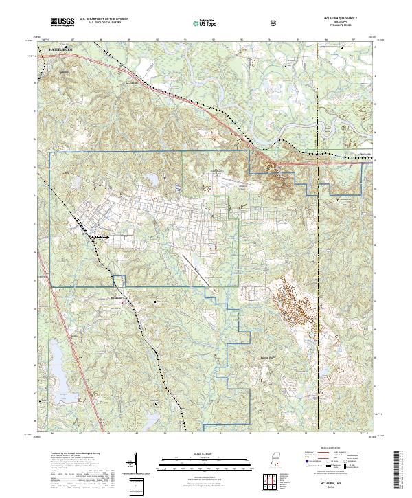
2024 McLaurin
Forrest County, MS
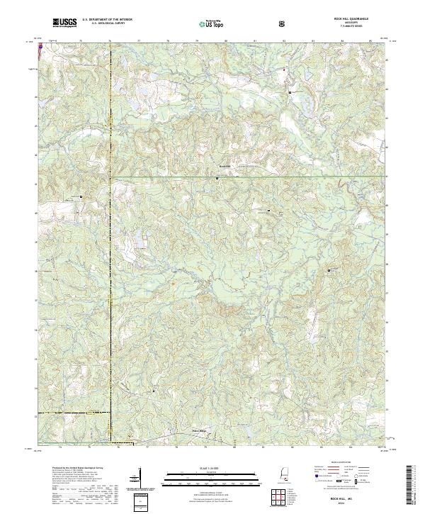
2024 Rock Hill
Forrest County, MS