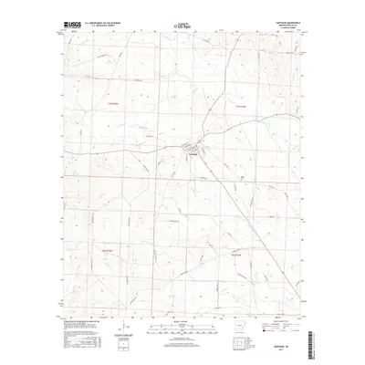
2017 Map of Carthage
USGS Topo · Published 2017About this map
Carthage serves as the central hub for this portion of Dallas County, where the street grid of W Church St and S Patillo St meets the rural road network. The landscape is defined by an intricate drainage system including Moro Cr, Gum Cr, and Matthews Cr, which carve through the timberlands. Local history is anchored at Bethel Cem southeast of the town center. The area's transit and industrial past is hinted at by the presence of Eagle Tram Rd and Tram Trl, following the routes of former logging or railroad spurs that once facilitated the local timber economy. This modern survey detail shows the convergence of traditional county routes like Banks Springs Rd with contemporary bypass infrastructure, illustrating how the rural community has adapted its layout over the decades.
Find a feature on this map
59 named features on this map. Tap any name to fly to it.
Don’t see what you’re looking for? This feature index may not catch every label — zoom into the map to look around manually.
Map Details
Editions of this 2017 Carthage Map
This is the sole edition of this map. No revisions or reprints were ever made.
Other maps of this area

1903 · Camden
USGS Topo · 1:125,000

1953 · El Dorado
USGS Topo · 1:250,000

1955 · Little Rock
USGS Topo · 1:250,000

1956 · Little Rock
USGS Topo · 1:250,000

1957 · El Dorado
USGS Topo · 1:250,000

1958 · El Dorado
USGS Topo · 1:250,000

1960 · El Dorado
USGS Topo · 1:250,000

1960 · Little Rock
USGS Topo · 1:250,000

1964 · Little Rock
USGS Topo · 1:250,000

1964 · Bunn
USGS Topo · 1:24,000