
1894 Map of Carthage
USGS Topo · Published 1894About this map
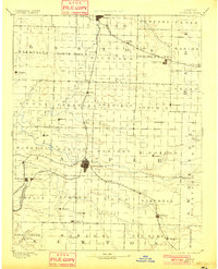
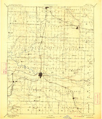
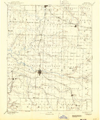
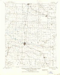
The Spring River and its major tributaries, including the North Fork Spring River and Center Creek, define the landscape of Southwest Missouri in this 1884 survey. The city of Carthage serves as a central hub, surrounded by a network of established townships like Preston, Sheridan, and Sarcoxie. This era shows the region during a period of significant development, where the Missouri Pacific Railroad and St Louis and San Francisco Railroad intersect, facilitating the movement of goods and people between emerging mining and agricultural centers. Smaller, family-linked settlements like Dudenville, Red Oak, and Gibsonville are scattered throughout, providing a clear view of the rural settlement patterns before the 20th century. Notable industrial and trade points such as Bowers Mill and the cluster of towns around Webb City and Carterville highlight the early economic drivers of the county.
Find a feature on this map
73 named features on this map. Tap any name to fly to it.
Don’t see what you’re looking for? This feature index may not catch every label — zoom into the map to look around manually.
Map Details
Editions of this 1894 Carthage Map
5 editions found
Other maps of this area

1884 · Fort Scott
USGS Topo · 1:125,000

1886 · Nevada
USGS Topo · 1:125,000

1886 · Joplin
USGS Topo · 1:125,000

1886 · Stockton
USGS Topo · 1:125,000

1886 · Greenfield
USGS Topo · 1:125,000

1886 · Fort Scott
USGS Topo · 1:125,000

1886 · Carthage
USGS Topo · 1:125,000

1888 · Greenfield
USGS Topo · 1:125,000

1893 · Fort Scott
USGS Topo · 1:125,000

1894 · Nevada
USGS Topo · 1:125,000