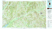
1994 Map of Carthage
USGS Topo · Published 1994About this map
The Pearl River and Yockanookany River systems dominate this central Mississippi landscape, carving through a region defined by extensive public lands and tribal territories. The presence of the Choctaw Indian Reservation near Philadelphia and the northern reaches of the Bienville National Forest highlights the managed nature of this rural terrain. In the southwest, the Ross Barnett Reservoir and the adjacent Pearl River State Wildlife Management Area mark a significant transition into a lacustrine environment, supporting local recreation and conservation at the edges of the Government Hills.
Find a feature on this map
65 named features on this map. Tap any name to fly to it.
Don’t see what you’re looking for? This feature index may not catch every label — zoom into the map to look around manually.
Map Details
Editions of this 1994 Carthage Map
This is the sole edition of this map. No revisions or reprints were ever made.
Other maps of this area

1903 · Jackson
USGS Topo · 1:125,000

1905 · Jackson
USGS Topo · 1:48,000

1908 · Jackson
USGS Topo · 1:62,500
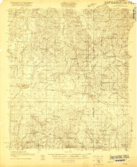
1921 · Forest
USGS Topo · 1:48,000
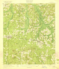
1922 · Forest
USGS Topo · 1:62,500
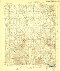
1922 · Morton
USGS Topo · 1:48,000
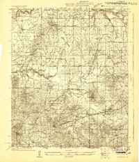
1922 · Pelahatchee
USGS Topo · 1:48,000
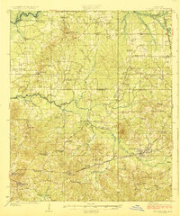
1924 · Pelahatchee
USGS Topo · 1:62,500
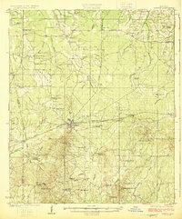
1924 · Morton
USGS Topo · 1:62,500
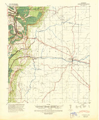
1940 · Lexington
USGS Topo · 1:62,500