Loading...
Loading map...1932 Map of Carthage
USGS Topo · Published 1947About this map
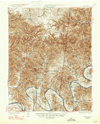
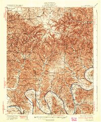
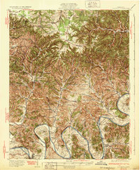
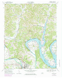
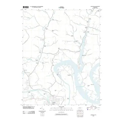
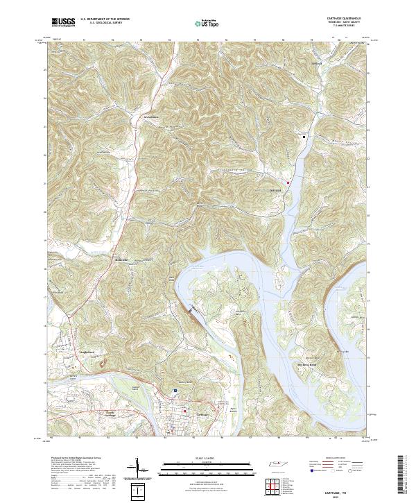
Carthage serves as the focal point for this interior Tennessee landscape, where the deeply incised loops of the Cumberland River define the local geography. Surveyed in the late 1920s, the map reveals a highly decentralized rural economy organized around river bends and hollows. Significant crossings like the Holliman Ferry illustrate the era's reliance on river-based transport before modern bridging. The terrain is marked by family-named landmarks and tiny social centers such as Difficult, Willette, and Granville.
Find a feature on this map
85 named features on this map. Tap any name to fly to it.
Don’t see what you’re looking for? This feature index may not catch every label — zoom into the map to look around manually.
Map Details
Date Portrayed1932
Date Published1947
PublisherU.S. Geological Survey
Map TypeTopographic
Scale1:62,500
Physical Dimensions17 x 20.9 inches
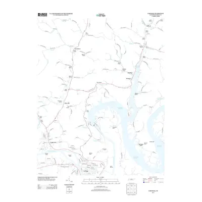
Editions of this 1932 Carthage Map
3 editions found
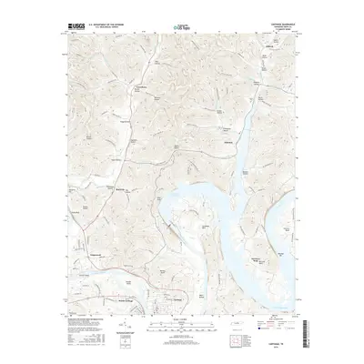
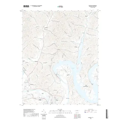
Historical Maps of Lafayette Through Time
7 maps found
Featured Locations
Source Details
SourceU.S. Geological Survey
CopyrightPublic Domain