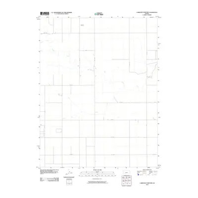
2010 Map of Carwood Cemetery
USGS Topo · Published 2010About this map
Carwood Cemetery stands as a quiet focal point in this portion of the High Plains, reflecting the sparse, organized settlement of Western Kansas at the beginning of the 21st century. The landscape is defined by the winding course of Ladder Creek, which provides a rare natural deviation from the rigid, mile-square section lines that govern the local road network. These straight thoroughfares, including Parks Rd, Co Rd 7, and Co Rd J, delineate a vast agricultural grid typical of the region's land use. The presence of the cemetery alongside these secondary roads serves as a permanent record of the local community's footprint in a terrain where built features are otherwise infrequent, making this a clear reference for genealogical research and the study of rural land patterns.
Find a feature on this map
15 named features on this map. Tap any name to fly to it.
Don’t see what you’re looking for? This feature index may not catch every label — zoom into the map to look around manually.
Map Details
Editions of this 2010 Carwood Cemetery Map
This is the sole edition of this map. No revisions or reprints were ever made.
Other maps of this area

1955 · Scott City
USGS Topo · 1:250,000

1958 · Scott City
USGS Topo · 1:250,000

1968 · Russell Springs 3 SW
USGS Topo · 1:24,000

1968 · Russell Springs 3 NW
USGS Topo · 1:24,000

1968 · Russell Springs 3 SE
USGS Topo · 1:24,000

1968 · Sharon Springs 4 NE
USGS Topo · 1:24,000

1968 · Russell Springs 3 NE
USGS Topo · 1:24,000

1970 · Sharon Springs 4 SE
USGS Topo · 1:24,000

1970 · Selkirk
USGS Topo · 1:24,000

1970 · Leoti
USGS Topo · 1:24,000