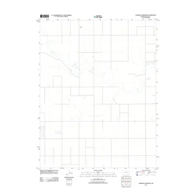
2012 Map of Carwood Cemetery
USGS Topo · Published 2012About this map
Ladder Creek meanders through the high plains of Wichita County, defining the drainage patterns of this agricultural landscape in western Kansas. The terrain is characterized by a precise grid of rural roads and section lines that frame the dry upland fields. Near the northern edge of the sheet, Carwood Cemetery stands as a significant landmark for family historians, marking the location of the former Carwood community. This survey, published by the U.S. Geological Survey in 2012, illustrates the sparse settlement and geographic isolation of this portion of Leoti Township, where the few named features reflect the essential reliance on local water sources and the preservation of early regional history through its burial grounds.
Find a feature on this map
2 named features on this map. Tap any name to fly to it.
Don’t see what you’re looking for? This feature index may not catch every label — zoom into the map to look around manually.
Map Details
Editions of this 2012 Carwood Cemetery Map
This is the sole edition of this map. No revisions or reprints were ever made.
Other maps of this area

1955 · Scott City
USGS Topo · 1:250,000

1958 · Scott City
USGS Topo · 1:250,000

1968 · Russell Springs 3 SW
USGS Topo · 1:24,000

1968 · Russell Springs 3 NW
USGS Topo · 1:24,000

1968 · Russell Springs 3 SE
USGS Topo · 1:24,000

1968 · Sharon Springs 4 NE
USGS Topo · 1:24,000

1968 · Russell Springs 3 NE
USGS Topo · 1:24,000

1970 · Sharon Springs 4 SE
USGS Topo · 1:24,000

1970 · Selkirk
USGS Topo · 1:24,000

1970 · Leoti
USGS Topo · 1:24,000