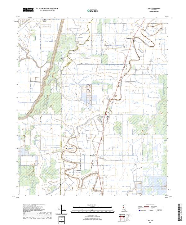
2024 Map of Cary
USGS Topo · Published 2024About this map
Cary and the surrounding agricultural lands of the Mississippi Delta are defined by an intricate network of waterways and drainage. The landscape is shaped by the meandering courses of Deer Creek and Steele Bayou, which flank the central settlements. The boundary between Issaquena Co and Sharkey Co cuts through the territory, marking a region of historically significant plantations and rural communities.
Find a feature on this map
40 named features on this map. Tap any name to fly to it.
Don’t see what you’re looking for? This feature index may not catch every label — zoom into the map to look around manually.
Map Details
Editions of this 2024 Cary Map
This is the sole edition of this map. No revisions or reprints were ever made.
Other maps of this area

1909 · Wilsons Point
USGS Topo · 1:24,000

1913 · Wilson Point
USGS Topo · 1:31,680

1939 · Onward
USGS Topo · 1:62,500

1939 · Lorenzen
USGS Topo · 1:62,500

1939 · Alsatia
USGS Topo · 1:62,500

1939 · Mayersville
USGS Topo · 1:62,500

1955 · Jackson
USGS Topo · 1:250,000

1961 · Jackson
USGS Topo · 1:250,000

1962 · Jackson
USGS Topo · 1:250,000

1963 · Onward
USGS Topo · 1:62,500