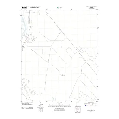
2010 Map of Casa Colorada
USGS Topo · Published 2010About this map
The Rio Grande flows along the western edge of this Valencia County landscape, feeding the irrigation infrastructure at San Juan Heading. This survey depicts a period of transitioning land use where established settlements like Casa Colorada and Madrone meet a structured grid of residential road networks. The desert terrain is defined by the significant drainage of the Abo Arroyo in the south, while the central and eastern sections are dominated by modern looping developments. Named roads such as Sonnenberg Loop, Navajo Loop, and Paseo del Escarpado illustrate the planned expansion of the Rio Communities area during the early 21st century. To the east, the settlement of Bodega sits near the intersection of several primary arteries, reflecting the area's ongoing residential growth away from the river's traditional floodplains.
Find a feature on this map
29 named features on this map. Tap any name to fly to it.
Don’t see what you’re looking for? This feature index may not catch every label — zoom into the map to look around manually.
Map Details
Editions of this 2010 Casa Colorada Map
This is the sole edition of this map. No revisions or reprints were ever made.
Other maps of this area

1916 · La Joya
USGS Topo · 1:125,000

1952 · Tome SE
USGS Topo · 1:24,000

1952 · Black Butte
USGS Topo · 1:24,000

1952 · Tome NE
USGS Topo · 1:24,000

1952 · Belen
USGS Topo · 1:24,000

1952 · Turn
USGS Topo · 1:24,000

1952 · Veguita
USGS Topo · 1:24,000

1952 · Tome
USGS Topo · 1:24,000

1952 · Becker
USGS Topo · 1:24,000

1952 · Abeytas
USGS Topo · 1:24,000