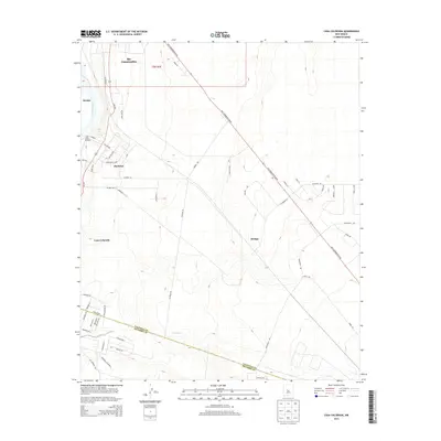
2013 Map of Casa Colorada
USGS Topo · Published 2013About this map
Rio Communities and the surrounding Valencia County landscape are defined by the passage of the Rio Grande along the western edge of this survey. The settlement patterns reflect a mix of traditional river-side communities like Jarales and Casa Colorada alongside more modern residential developments. A network of local roads, such as Sonnenberg Loop and Navajo Loop, branch off from primary thoroughfares like Rio Communities Blvd and NM-304.
Find a feature on this map
51 named features on this map. Tap any name to fly to it.
Don’t see what you’re looking for? This feature index may not catch every label — zoom into the map to look around manually.
Map Details
Editions of this 2013 Casa Colorada Map
This is the sole edition of this map. No revisions or reprints were ever made.
Other maps of this area

1916 · La Joya
USGS Topo · 1:125,000

1952 · Tome SE
USGS Topo · 1:24,000

1952 · Black Butte
USGS Topo · 1:24,000

1952 · Tome NE
USGS Topo · 1:24,000

1952 · Belen
USGS Topo · 1:24,000

1952 · Turn
USGS Topo · 1:24,000

1952 · Veguita
USGS Topo · 1:24,000

1952 · Tome
USGS Topo · 1:24,000

1952 · Becker
USGS Topo · 1:24,000

1952 · Abeytas
USGS Topo · 1:24,000