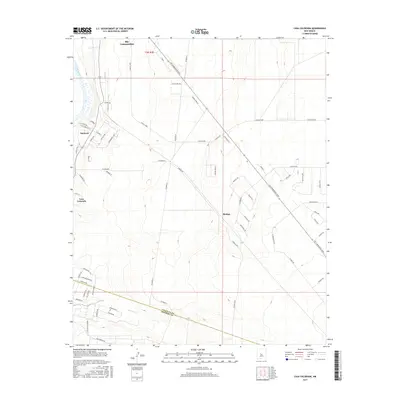
2017 Map of Casa Colorada
USGS Topo · Published 2017About this map
Rio Communities occupies the desert landscape east of the Rio Grande in this survey of the northern Rio Grande Valley. The map documents a significant residential layout defined by extensive loops and long thoroughfares such as Rio Communities Blvd, Navajo Loop, and S Navajo Rd. These planned developments contrast with the natural drainage of the Abo Arroyo, which cuts through the southern portion of the quadrangle near the boundary between Valencia County and Socorro County.
Find a feature on this map
65 named features on this map. Tap any name to fly to it.
Don’t see what you’re looking for? This feature index may not catch every label — zoom into the map to look around manually.
Map Details
Editions of this 2017 Casa Colorada Map
This is the sole edition of this map. No revisions or reprints were ever made.
Other maps of this area

1916 · La Joya
USGS Topo · 1:125,000

1952 · Tome SE
USGS Topo · 1:24,000

1952 · Black Butte
USGS Topo · 1:24,000

1952 · Tome NE
USGS Topo · 1:24,000

1952 · Belen
USGS Topo · 1:24,000

1952 · Turn
USGS Topo · 1:24,000

1952 · Veguita
USGS Topo · 1:24,000

1952 · Tome
USGS Topo · 1:24,000

1952 · Becker
USGS Topo · 1:24,000

1952 · Abeytas
USGS Topo · 1:24,000