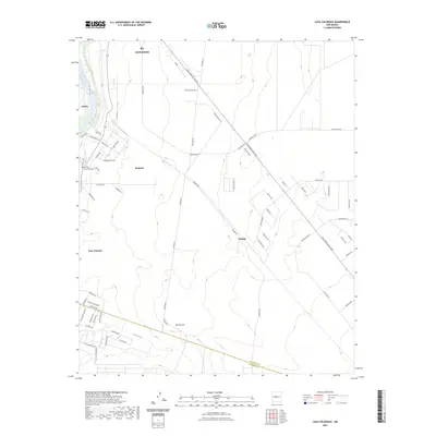
2023 Map of Casa Colorada
USGS Topo · Published 2023About this map
The Rio Grande corridor south of Belen reveals a transition from traditional riverside settlements to modern residential expansion in this 2023 survey. The western edge is defined by the historic community of Jarales, while the eastern mesa shows the extensive street network of Rio Communities. This contemporary layout, featuring arterial routes like Rio Communities Blvd and Navajo Loop, contrasts sharply with the older, more compact footprints of Madrone and Casa Colorada. Local heritage is anchored by the Casa de Coloradas Cem, situated near the edge of the river's floodplain. The landscape is further shaped by natural drainage patterns, most notably the Abo Arroyo, which cuts through the southern portion of the quadrangle toward the Valencia and Socorro county line. The map captures a phase of suburban development where named roads like Turbine Rd and Balsam Rd reach into previously open ranchland.
Find a feature on this map
67 named features on this map. Tap any name to fly to it.
Don’t see what you’re looking for? This feature index may not catch every label — zoom into the map to look around manually.
Map Details
Editions of this 2023 Casa Colorada Map
This is the sole edition of this map. No revisions or reprints were ever made.
Other maps of this area

1916 · La Joya
USGS Topo · 1:125,000

1952 · Tome SE
USGS Topo · 1:24,000

1952 · Black Butte
USGS Topo · 1:24,000

1952 · Tome NE
USGS Topo · 1:24,000

1952 · Belen
USGS Topo · 1:24,000

1952 · Turn
USGS Topo · 1:24,000

1952 · Veguita
USGS Topo · 1:24,000

1952 · Tome
USGS Topo · 1:24,000

1952 · Becker
USGS Topo · 1:24,000

1952 · Abeytas
USGS Topo · 1:24,000