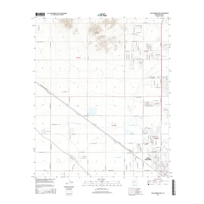
2014 Map of Casa Grande West
USGS Topo · Published 2014About this map
The growing urban footprint of Casa Grande dominates the southeastern portion of this landscape, where residential streets meet the agricultural and desert plains. Infrastructure for the region is anchored by the Casa Grande Municipal Airport and the complex irrigation network of the Casa Grande Canal, which reflects the area's long-standing reliance on managed water in the arid corridor between Phoenix and Tucson.
Find a feature on this map
108 named features on this map. Tap any name to fly to it.
Don’t see what you’re looking for? This feature index may not catch every label — zoom into the map to look around manually.
Map Details
Editions of this 2014 Casa Grande West Map
This is the sole edition of this map. No revisions or reprints were ever made.
Other maps of this area

1907 · Sacaton
USGS Topo · 1:62,500

1914 · Gila Butte
USGS Topo · 1:62,500

1917 · Gila Butte
USGS Topo · 1:62,500

1922 · Casa Grande
USGS Topo · 1:62,500

1922 · Signal Peak
USGS Topo · 1:62,500

1924 · Signal Peak
USGS Topo · 1:62,500

1924 · Casa Grande
USGS Topo · 1:62,500

1952 · Gila Butte SE
USGS Topo · 1:24,000

1952 · Sacaton Butte
USGS Topo · 1:24,000

1952 · Gila Butte
USGS Topo · 1:62,500