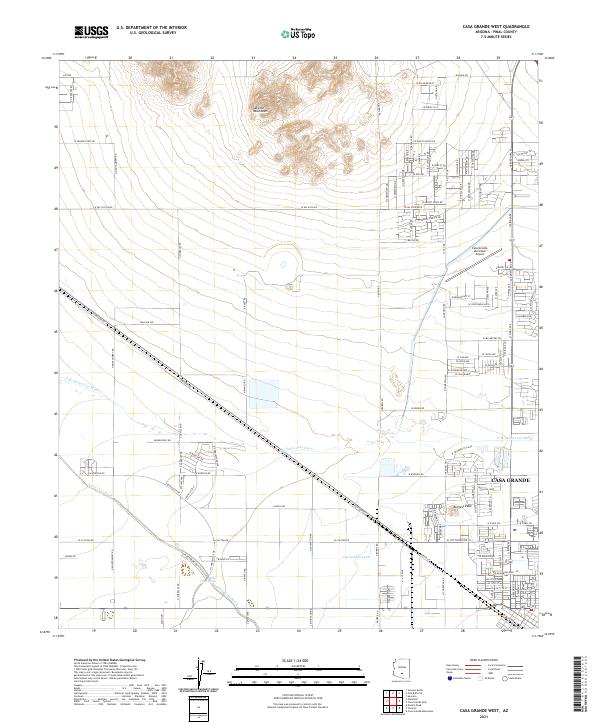
2021 Map of Casa Grande West
USGS Topo · Published 2021About this map
The Sacaton Mountains rise sharply in the northern portion of this Pinal County landscape, providing a vertical contrast to the developing desert floor of Casa Grande. This modern survey documents the suburban expansion and agricultural infrastructure southwest of the city center, where the Casa Grande Canal and Santa Cruz Wash navigate the low-lying terrain. The transition from industrial and transit corridors to residential neighborhoods is evident near the Casa Grande Municipal Airport, which serves as a central landmark for the area's growth. Locally significant features like Burgess Peak and the branching N Br Santa Cruz Wash define the hydrology of the basin, while historic thoroughfares such as Cowtown Rd and Minneapolis Rd organize the grid between established townships and new developments.
Find a feature on this map
58 named features on this map. Tap any name to fly to it.
Don’t see what you’re looking for? This feature index may not catch every label — zoom into the map to look around manually.
Map Details
Editions of this 2021 Casa Grande West Map
This is the sole edition of this map. No revisions or reprints were ever made.
Other maps of this area

1907 · Sacaton
USGS Topo · 1:62,500

1914 · Gila Butte
USGS Topo · 1:62,500

1917 · Gila Butte
USGS Topo · 1:62,500

1922 · Casa Grande
USGS Topo · 1:62,500

1922 · Signal Peak
USGS Topo · 1:62,500

1924 · Signal Peak
USGS Topo · 1:62,500

1924 · Casa Grande
USGS Topo · 1:62,500

1952 · Gila Butte SE
USGS Topo · 1:24,000

1952 · Sacaton Butte
USGS Topo · 1:24,000

1952 · Gila Butte
USGS Topo · 1:62,500