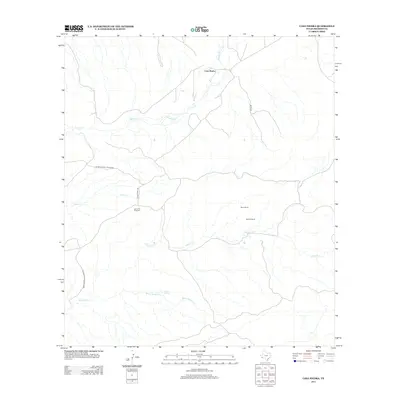
2012 Map of Casa Piedra
USGS Topo · Published 2012About this map
Casa Piedra and its surrounding ranchlands are situated in the high desert environment of Presidio County, defined by a network of seasonal watercourses and remote outposts. The geography is characterized by the drainages of Alamito Cr and Alamo Cr, which converge near the small settlement of Casa Piedra. Evidence of the region's ranching heritage is seen in the placement of Rawls Ranch, Holguin Ranch, and the Loma Alta Windmill, highlighting the critical importance of water management in this arid landscape. The southwestern portion of the area includes the protected lands of Big Bend Ranch State Park, where Black Hills Cr cuts through the terrain. Human infrastructure is limited to secondary routes like Ranch Road 169 and Green Rd, reflecting the isolation and low population density typical of this borderlands region.
Find a feature on this map
13 named features on this map. Tap any name to fly to it.
Don’t see what you’re looking for? This feature index may not catch every label — zoom into the map to look around manually.
Map Details
Editions of this 2012 Casa Piedra Map
This is the sole edition of this map. No revisions or reprints were ever made.
Other maps of this area

1896 · Shafter
USGS Topo · 1:125,000

1917 · Tascotal Mesa
USGS Topo · 1:62,500

1918 · Jordan Gap
USGS Topo · 1:62,500

1930 · Jordan Gap
USGS Topo · 1:62,500

1944 · Tascotal Mesa
USGS Topo · 1:62,500

1959 · Emory Peak
USGS Topo · 1:250,000

1959 · Presidio
USGS Topo · 1:250,000

1965 · Presidio
USGS Topo · 1:250,000

1965 · Emory Peak
USGS Topo · 1:250,000

1983 · Plata
USGS Topo · 1:24,000