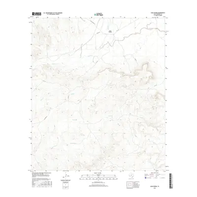
2016 Map of Casa Piedra
USGS Topo · Published 2016About this map
Casa Piedra sits at the northern edge of this high-desert landscape in Presidio County, where the sparse infrastructure of the Big Bend region is clearly defined. The terrain is dominated by the complex drainage systems of Alamito Cr and Alamo Cr, which cut through the arid soil towards the south. A network of unpaved tracks and local connectors, such as Cienega Mountain Rd and Rr Track Rd, provides the only access through this desolate expanse. Notable water sources like White Spring and its associated White Spring Cr represent critical landmarks in an area where water defines both the ecology and human movement. Further south, Holguin Cr and Black Hills Cr carve additional paths through the contours, illustrating the natural watershed patterns that remain largely untouched by modern development.
Find a feature on this map
12 named features on this map. Tap any name to fly to it.
Don’t see what you’re looking for? This feature index may not catch every label — zoom into the map to look around manually.
Map Details
Editions of this 2016 Casa Piedra Map
This is the sole edition of this map. No revisions or reprints were ever made.
Other maps of this area

1896 · Shafter
USGS Topo · 1:125,000

1917 · Tascotal Mesa
USGS Topo · 1:62,500

1918 · Jordan Gap
USGS Topo · 1:62,500

1930 · Jordan Gap
USGS Topo · 1:62,500

1944 · Tascotal Mesa
USGS Topo · 1:62,500

1959 · Emory Peak
USGS Topo · 1:250,000

1959 · Presidio
USGS Topo · 1:250,000

1965 · Presidio
USGS Topo · 1:250,000

1965 · Emory Peak
USGS Topo · 1:250,000

1983 · Plata
USGS Topo · 1:24,000