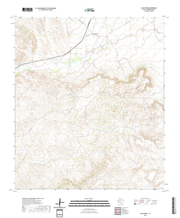
2022 Map of Casa Piedra
USGS Topo · Published 2022About this map
Casa Piedra serves as the focal point of this arid Presidio County landscape, where transportation routes and ephemeral watercourses converge. The settlement sits at a crossroads where Rr Track Rd and Hwy 169 meet, reflecting the historical importance of the corridor between the Chinati and Cienega mountains. The drainage patterns of the High Desert are clearly defined by the winding course of Alamito Cr, which is joined further south by Holguin Cr and White Spring Cr.
Find a feature on this map
11 named features on this map. Tap any name to fly to it.
Don’t see what you’re looking for? This feature index may not catch every label — zoom into the map to look around manually.
Map Details
Editions of this 2022 Casa Piedra Map
This is the sole edition of this map. No revisions or reprints were ever made.
Other maps of this area

1896 · Shafter
USGS Topo · 1:125,000

1917 · Tascotal Mesa
USGS Topo · 1:62,500

1918 · Jordan Gap
USGS Topo · 1:62,500

1930 · Jordan Gap
USGS Topo · 1:62,500

1944 · Tascotal Mesa
USGS Topo · 1:62,500

1959 · Emory Peak
USGS Topo · 1:250,000

1959 · Presidio
USGS Topo · 1:250,000

1965 · Presidio
USGS Topo · 1:250,000

1965 · Emory Peak
USGS Topo · 1:250,000

1983 · Plata
USGS Topo · 1:24,000