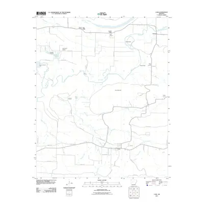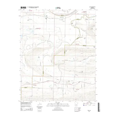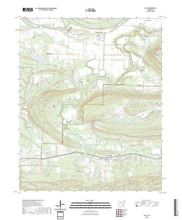
2024 Map of Casa
USGS Topo · Published 2024About this map
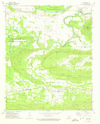
The Petit Jean River meanders across this Central Arkansas landscape where Yell, Pope, Conway, and Perry Counties meet. This modern survey illustrates a rural region defined by its varying topography, from the lowlands of the Holla Bend National Wildlife Refuge in the north to the elevations of Cove Mtn and Rose Creek Mountain in the south. Small settlements like Cotton Town, New Neely, and Pontoon serve as historical anchors in a landscape that remains primarily agricultural and forested.
Find a feature on this map
77 named features on this map. Tap any name to fly to it.
Don’t see what you’re looking for? This feature index may not catch every label — zoom into the map to look around manually.
Map Details
Editions of this 2024 Casa Map
This is the sole edition of this map. No revisions or reprints were ever made.
Historical Maps of Casa Through Time
6 maps found