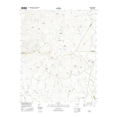
2016 Map of Casar
USGS Topo · Published 2016About this map
South Mountains dominate the northwestern terrain of this quadrangle, where the borders of Burke, Cleveland, Catawba, and Lincoln counties converge. The landscape is defined by a dense network of prominent peaks and ridges, including Doublehead Mtn, Noah Mtn, and Queens Mtn. Numerous family-named landmarks such as Carpenter Knob, Old Sheep Knob, and Swenk Knob reflect the long-standing agricultural and residential heritage of the region.
Find a feature on this map
133 named features on this map. Tap any name to fly to it.
Don’t see what you’re looking for? This feature index may not catch every label — zoom into the map to look around manually.
Map Details
Editions of this 2016 Casar Map
This is the sole edition of this map. No revisions or reprints were ever made.
Other maps of this area

1895 · Hickory
USGS Topo · 1:125,000
1905 · Morganton
USGS Topo · 1:125,000
1909 · Lincolnton
USGS Topo · 1:62,500
1911 · Lincolnton
USGS Topo · 1:62,500
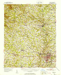
1950 · Shelby
USGS Topo · 1:62,500

1953 · Charlotte
USGS Topo · 1:250,000

1954 · Charlotte
USGS Topo · 1:250,000
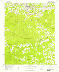
1956 · Valdese
USGS Topo · 1:24,000
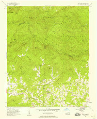
1956 · Benn Knob
USGS Topo · 1:24,000
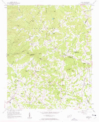
1956 · Casar
USGS Topo · 1:24,000