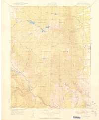
1950 Map of Cascade
USGS Topo · Published 1950About this map
Rampart Range dominates this mid-century landscape, where steep canyons and high peaks give way to early resort settlements and medical facilities along the foothills. The Modern Woodmen of America Sanatorium near Woodmen stands as a significant landmark of the era's specialized healthcare developments, while the community of Cascade and the Holy Rosary Chapel mark the growing residential and spiritual center of the area.
Find a feature on this map
47 named features on this map. Tap any name to fly to it.
Don’t see what you’re looking for? This feature index may not catch every label — zoom into the map to look around manually.
Map Details
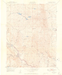
Editions of this 1950 Cascade Map
2 editions found
Other maps of this area

1893 · Platte Canyon
USGS Topo · 1:125,000

1893 · Colorado Springs
USGS Topo · 1:125,000

1894 · Pikes Peak
USGS Topo · 1:125,000

1894 · Castle Rock
USGS Topo · 1:125,000

1901 · Pikes Peak
USGS Topo · 1:125,000

1901 · Pikes Peak
USGS Topo · 1:62,500

1909 · Colorado Springs
USGS Topo · 1:125,000

1913 · Castle Rock
USGS Topo · 1:125,000

1942 · Colorado Springs
USGS Topo · 1:125,000

1948 · Manitou Springs
USGS Topo · 1:24,000