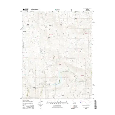
2015 Map of Cascadel Point
USGS Topo · Published 2015About this map
The San Joaquin River carves through the landscape of the Sierra National Forest in this 2015 study, defining the border between Madera and Fresno counties. The river passes through Redinger Lake, a significant hydrological feature near the settlement of Italian Bar. This region is characterized by steep canyons and prominent ridges, including Malum Ridge and Whisky Ridge, which separate the various tributaries feeding into the main river system.
Find a feature on this map
47 named features on this map. Tap any name to fly to it.
Don’t see what you’re looking for? This feature index may not catch every label — zoom into the map to look around manually.
Map Details
Editions of this 2015 Cascadel Point Map
This is the sole edition of this map. No revisions or reprints were ever made.
Other maps of this area

1904 · Kaiser
USGS Topo · 1:125,000

1912 · Mariposa
USGS Topo · 1:125,000

1942 · Millerton Lake
USGS Topo · 1:62,500

1945 · Millerton Lake
USGS Topo · 1:62,500

1947 · Mariposa
USGS Topo · 1:250,000

1948 · Mariposa
USGS Topo · 1:250,000
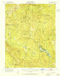
1953 · Bass Lake
USGS Topo · 1:62,500

1953 · Shaver Lake
USGS Topo · 1:62,500

1953 · Shuteye Peak
USGS Topo · 1:62,500

1957 · Mariposa
USGS Topo · 1:250,000