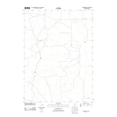
2012 Map of Casebier Hill
USGS Topo · Published 2012About this map
Casebier Hill rises over this high-plains landscape in Goshen County, where the terrain is carved by complex drainages like Divinie Draw and Britain Draw. This 2012 survey by the U.S. Geological Survey illustrates a sparse ranching and agricultural landscape defined by its vital water sources and long-distance travel routes. Settlement is centered around sites like the Meyers Ranch, while Woodworth Spring provides a critical point of interest in an otherwise arid environment. The map details a network of rural corridors, including the historically significant Fort Laramie Rd and the wandering course of Molly Fork. This record is essential for understanding modern land use and historical transit patterns across the southeastern Wyoming cattle country.
Find a feature on this map
11 named features on this map. Tap any name to fly to it.
Don’t see what you’re looking for? This feature index may not catch every label — zoom into the map to look around manually.
Map Details
Editions of this 2012 Casebier Hill Map
This is the sole edition of this map. No revisions or reprints were ever made.
Other maps of this area

1896 · Patrick
USGS Topo · 1:125,000

1896 · Hartville
USGS Topo · 1:125,000

1901 · Hartville
USGS Topo · 1:125,000

1950 · Guernsey
USGS Topo · 1:24,000

1950 · Casebier Hill
USGS Topo · 1:24,000

1950 · Fort Laramie
USGS Topo · 1:24,000

1950 · Register Cliff
USGS Topo · 1:24,000

1950 · Hell Gap
USGS Topo · 1:24,000
1951 · Hell Gap
USGS Topo · 1:24,000

1951 · Moore Spring
USGS Topo · 1:24,000