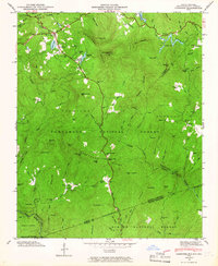
1946 Map of Cashiers
USGS Topo · Published 1966About this map
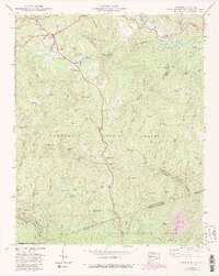
Cashiers and the surrounding Cashiers Valley serve as the focal point for this mid-century look at the high country where the Blue Ridge meets the Chattooga Ridge. The landscape is a network of steep elevations and high-altitude water bodies, including Fairfield Lake, Sapphire Lake, and Hampton Lake. The settlement pattern follows the drainages of the Horsepasture River and the Chattooga River, with small communities like High Hampton and Grimshawes tucked into the mountain folds. Significant for genealogists are the numerous family-linked landmarks and burial sites, such as the Upper Zachary Cem, Lower Zachary Cem, and Norton Cem.
Find a feature on this map
89 named features on this map. Tap any name to fly to it.
Don’t see what you’re looking for? This feature index may not catch every label — zoom into the map to look around manually.
Map Details
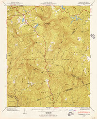
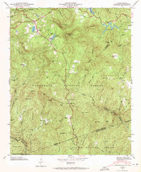
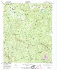
Editions of this 1946 Cashiers Map
5 editions found
Other maps of this area

1886 · Walhalla
USGS Topo · 1:125,000

1888 · Pickens
USGS Topo · 1:125,000

1891 · Cowee
USGS Topo · 1:125,000

1892 · Walhalla
USGS Topo · 1:125,000

1894 · Pickens
USGS Topo · 1:125,000

1896 · Walhalla
USGS Topo · 1:125,000

1897 · Cowee
USGS Topo · 1:125,000

1905 · Pisgah
USGS Topo · 1:125,000

1906 · Pisgah
USGS Topo · 1:125,000

1907 · Cowee
USGS Topo · 1:125,000