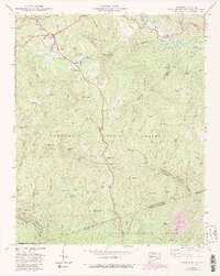
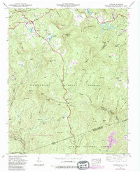
1946 Map of Cashiers
USGS Topo · Published 1991About this map
Cashiers and the surrounding Cashiers Valley sit at the center of this 1946 survey, which documents a landscape defined by high ridges and the headwaters of several major river systems. This area is a significant hydrological divide, where the Horsepasture River and Thompson River flow toward the Atlantic, while the Chattooga River begins its southward journey. The map identifies key mid-century community sites, including the Montvale Sch near Bohaynee and churches such as Pleasant Grove Ch and Heady Mountain Ch.
Find a feature on this map
75 named features on this map. Tap any name to fly to it.
Don’t see what you’re looking for? This feature index may not catch every label — zoom into the map to look around manually.
Map Details
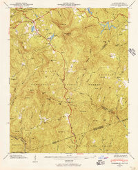
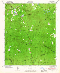
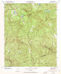
Editions of this 1946 Cashiers Map
5 editions found
Other maps of this area

1886 · Walhalla
USGS Topo · 1:125,000

1888 · Pickens
USGS Topo · 1:125,000

1891 · Cowee
USGS Topo · 1:125,000

1892 · Walhalla
USGS Topo · 1:125,000

1894 · Pickens
USGS Topo · 1:125,000

1896 · Walhalla
USGS Topo · 1:125,000

1897 · Cowee
USGS Topo · 1:125,000

1905 · Pisgah
USGS Topo · 1:125,000

1906 · Pisgah
USGS Topo · 1:125,000

1907 · Cowee
USGS Topo · 1:125,000