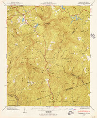
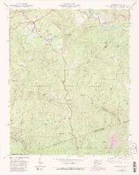
1946 Map of Cashiers
USGS Topo · Published 1957About this map
The Blue Ridge and Tennessee Divide converge in this high-altitude landscape of Jackson County, where the headwaters of major river systems begin their descent. Cashiers sits at the heart of this plateau, surrounded by a complex network of peaks including Chimneytop Mtn and Rocky Mtn. The map reveals a mid-century community structured around water and topography, featuring Cashiers Lake, Fairfield Lake, and Hampton Lake.
Find a feature on this map
83 named features on this map. Tap any name to fly to it.
Don’t see what you’re looking for? This feature index may not catch every label — zoom into the map to look around manually.
Map Details
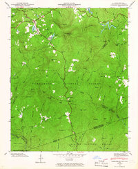
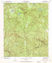
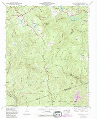
Editions of this 1946 Cashiers Map
5 editions found
Other maps of this area

1886 · Walhalla
USGS Topo · 1:125,000

1888 · Pickens
USGS Topo · 1:125,000

1891 · Cowee
USGS Topo · 1:125,000

1892 · Walhalla
USGS Topo · 1:125,000

1894 · Pickens
USGS Topo · 1:125,000

1896 · Walhalla
USGS Topo · 1:125,000

1897 · Cowee
USGS Topo · 1:125,000

1905 · Pisgah
USGS Topo · 1:125,000

1906 · Pisgah
USGS Topo · 1:125,000

1907 · Cowee
USGS Topo · 1:125,000