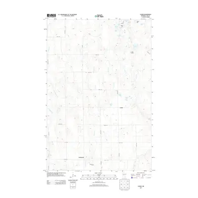
2013 Map of Casino
USGS Topo · Published 2013About this map
Casino sits within a landscape of glacial depressions and scattered wetlands in Cass County, mapped here in the early twenty-first century. The area is defined by a complex network of small lakes and ponds, including Ackerson Lake, Solarz Lake, and Mud Lake, which are interconnected by drainages like Sevenmile Cr and Mosquito Cr. A prominent rise known as Ghost Hill stands near the northern edge of the sheet alongside Brush Hill, offering a vertical contrast to the surrounding marshy lowlands such as Pine Island. The mapping of local infrastructure like Kral RD and DNR RD highlights the managed nature of these timberlands and wetlands. For those researching local burial sites, the Bridgeman Cem is located near the southern boundary, providing a specific point of interest for family historians tracing roots in this rural Minnesota township.
Find a feature on this map
35 named features on this map. Tap any name to fly to it.
Don’t see what you’re looking for? This feature index may not catch every label — zoom into the map to look around manually.
Map Details
Editions of this 2013 Casino Map
This is the sole edition of this map. No revisions or reprints were ever made.
Other maps of this area

1916 · Pillager
USGS Topo · 1:62,500

1919 · Pillager
USGS Topo · 1:62,500

1919 · Leader
USGS Topo · 1:62,500

1953 · Brainerd
USGS Topo · 1:250,000

1954 · Pillager
USGS Topo · 1:24,000

1957 · Brainerd
USGS Topo · 1:250,000

1958 · Brainerd
USGS Topo · 1:250,000

1959 · Pine River SW
USGS Topo · 1:24,000
1963 · Motley SE
USGS Topo · 1:24,000

1963 · Motley
USGS Topo · 1:24,000