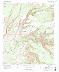
1965 Map of Casner Butte
USGS Topo · Published 1972About this map
Coconino National Forest encompasses this dramatic high-desert landscape, where the plateau of White Mesa meets the deep drainage of Wet Beaver Creek. During the mid-1960s, the area supported a mix of ranching operations and recreational access, evidenced by the Beaver Creek Ranger Sta, Beaver Creek Campground, and the Beaver Creek Ranch. The presence of several family-style ranch names like Soda Spring Ranch and Rancho Poco Roja suggests a pattern of private holdings along the reliable water sources of the basin.
Find a feature on this map
64 named features on this map. Tap any name to fly to it.
Don’t see what you’re looking for? This feature index may not catch every label — zoom into the map to look around manually.
Map Details
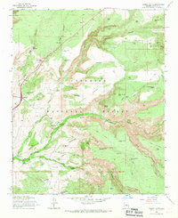
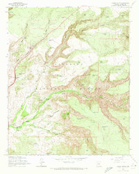
Editions of this 1965 Casner Butte Map
3 editions found
Other maps of this area

1887 · Verde
USGS Topo · 1:250,000

1892 · Verde
USGS Topo · 1:250,000

1923 · Camp Verde
USGS Topo · 1:125,000

1932 · Camp Verde
USGS Topo · 1:125,000

1936 · Camp Verde
USGS Topo · 1:125,000

1954 · Holbrook
USGS Topo · 1:250,000

1957 · Holbrook
USGS Topo · 1:250,000

1958 · Holbrook
USGS Topo · 1:250,000

1960 · Holbrook
USGS Topo · 1:250,000
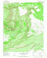
1965 · Munds Mountain
USGS Topo · 1:24,000