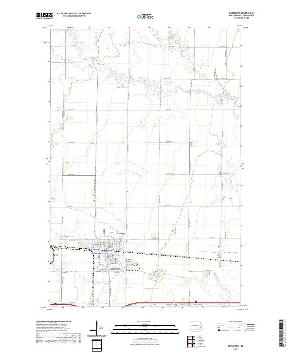
2024 Map of Casselton
USGS Topo · Published 2024About this map
Casselton serves as the primary hub of this eastern North Dakota prairie landscape, where a precise grid of sectional roads like 32nd St SE and 155th Ave SE defines the agricultural layout of Cass County. The town's interior structure is detailed through its residential and commercial arteries, including Langer Ave N and Front St, reflecting a community built around the intersection of critical transport corridors. Waterways such as the meandering Rush River in the north and Swan Creek to the south break the geometric regularity of the farmland.
Find a feature on this map
50 named features on this map. Tap any name to fly to it.
Don’t see what you’re looking for? This feature index may not catch every label — zoom into the map to look around manually.
Map Details
Editions of this 2024 Casselton Map
This is the sole edition of this map. No revisions or reprints were ever made.
Other maps of this area

1895 · Casselton
USGS Topo · 1:125,000

1897 · Casselton
USGS Topo · 1:125,000

1952 · Grand Forks
USGS Topo · 1:250,000

1953 · Fargo
USGS Topo · 1:250,000

1956 · Fargo
USGS Topo · 1:250,000

1956 · Grand Forks
USGS Topo · 1:250,000

1961 · Durbin
USGS Topo · 1:24,000

1961 · Casselton
USGS Topo · 1:24,000
1961 · Casselton SE
USGS Topo · 1:24,000
1961 · Mapleton
USGS Topo · 1:24,000