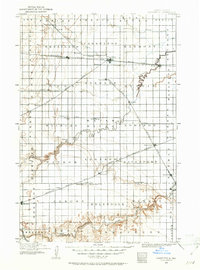
1895 Map of Casselton
USGS Topo · Published 1961About this map
The Northern Pacific R. R. and the Great Northern R. R. anchor this 1890s landscape of eastern North Dakota, where the rail network dictated the birth of towns across the Red River Valley. Casselton serves as a central junction, surrounded by smaller siding settlements and post offices such as Chaffee P.O., Myra, and Fleming. The landscape is defined by its transition from the flat glacial plains to the more textured drainage basins of the Sheyenne River and Maple River.
Find a feature on this map
73 named features on this map. Tap any name to fly to it.
Don’t see what you’re looking for? This feature index may not catch every label — zoom into the map to look around manually.
Map Details
Editions of this 1895 Casselton Map
This is the sole edition of this map. No revisions or reprints were ever made.
Other maps of this area
1895 · Fargo
USGS Topo · 1:125,000
1897 · Fargo
USGS Topo · 1:125,000
1897 · Tower
USGS Topo · 1:125,000
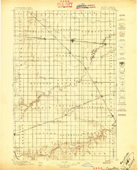
1897 · Casselton
USGS Topo · 1:125,000
1904 · Wahpeton
USGS Topo · 1:125,000
1907 · Wyndmere
USGS Topo · 1:125,000

1952 · Grand Forks
USGS Topo · 1:250,000

1953 · Fargo
USGS Topo · 1:250,000

1956 · Fargo
USGS Topo · 1:250,000

1956 · Grand Forks
USGS Topo · 1:250,000